Also see: General Geology/Processes Fossils Ghost Towns/Treasure Gold/Gems
scroll down for Mountain Press Roadside Geology State Series
Regional Geology/Road Guides
click for general geology/processes
 8.6 THE GREAT ALASKA EARTHQUAKE March 27, 1964. by Stan Cohen.
Seismologists describe an earthquake with a recording on the Richter Scale
greater than 8.2 as follows: “Few masonry structures, if any remain standing;
bridges destroyed; broad fissures in ground; underground pipe lines completely
out of service; earth slump and land slips in soft ground; and rails bent
greatly.” The Good Friday earthquake that struck southern Alaska, March 27, 1964
had a magnitude of between 8.2 and 9.2. 8 1/2"x11", 140pages, over 200 photos, 10 full-color pages.
Inventory = 1. ISBN: 0-929521-96-X. Order #: PIHI2779 paper$12.95.
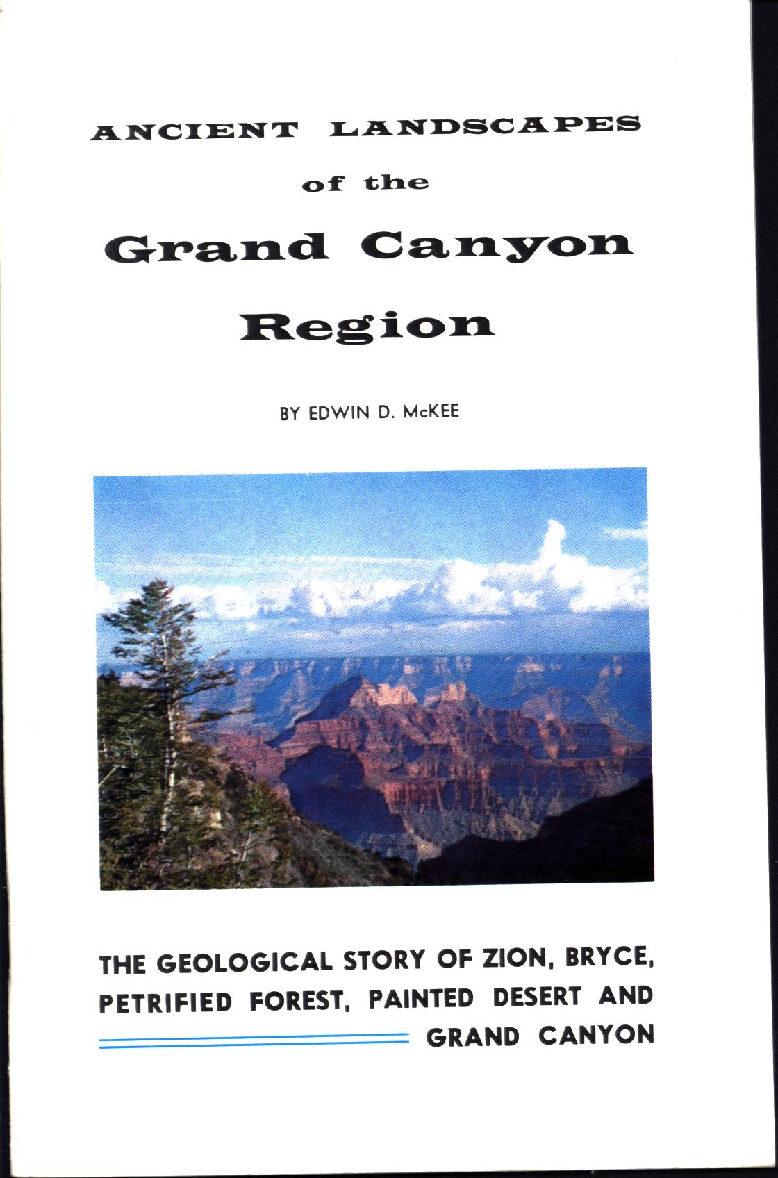 ANCIENT LANDSCAPES OF THE GRAND CANYON REGION. by Edwin D. McKee.
The geological story of Zion, Bryce, Petrified Forest, Painted Desert, and Grand Canyon. Details events in geologic periods from the earth's oldest rocks in the Grand Canyon through the formation of mountains, early climates, oldest known life and the first animal life, the age of fish, deposits of sedimentary rocks that make up so much of the landscapes of this area. Includes fossil trees, dinosaur tracks, and the "frozen" sand dunes of massive cliffs plus arches and bridges. Concludes with the erosive origins of features including cutting of canyons, glaciers, volcanic eruptions, and recent but now extinct animals, ending with the advent of man. Photographs, drawings, charts, and maps, bibliography, 52 pages.
Inventory = 3.ISBN: None. 1972. Order #: NOLA1008 paper$4.95.
 ANTARCTICA: the last unspoiled continent. by Laurence Pringle.
Introduction to the ice, life, and human
use of this land at the south pole. Two-thirds of the Earth's water is locked here in frozen glaciers,. Covers claims of territory by nations, wildlife including penguins and whales, operation of science bases and research projects. Color photos, 56 large-format pages, index.
Inventory = 1. ISBN: 0-671-73850-X. 1992. Order #: SISC6011 cloth$15.00.
 ARCHES: the story behind the scenery (UT). Johnson.
How rock shapes formed in Utah national park,
life on the outcrops, history. Color photos, 48 large-format pages.
Inventory = 1. ISBN: 0-88714-002-5. 1987. Order #: KCPU0742 paper$8.95.
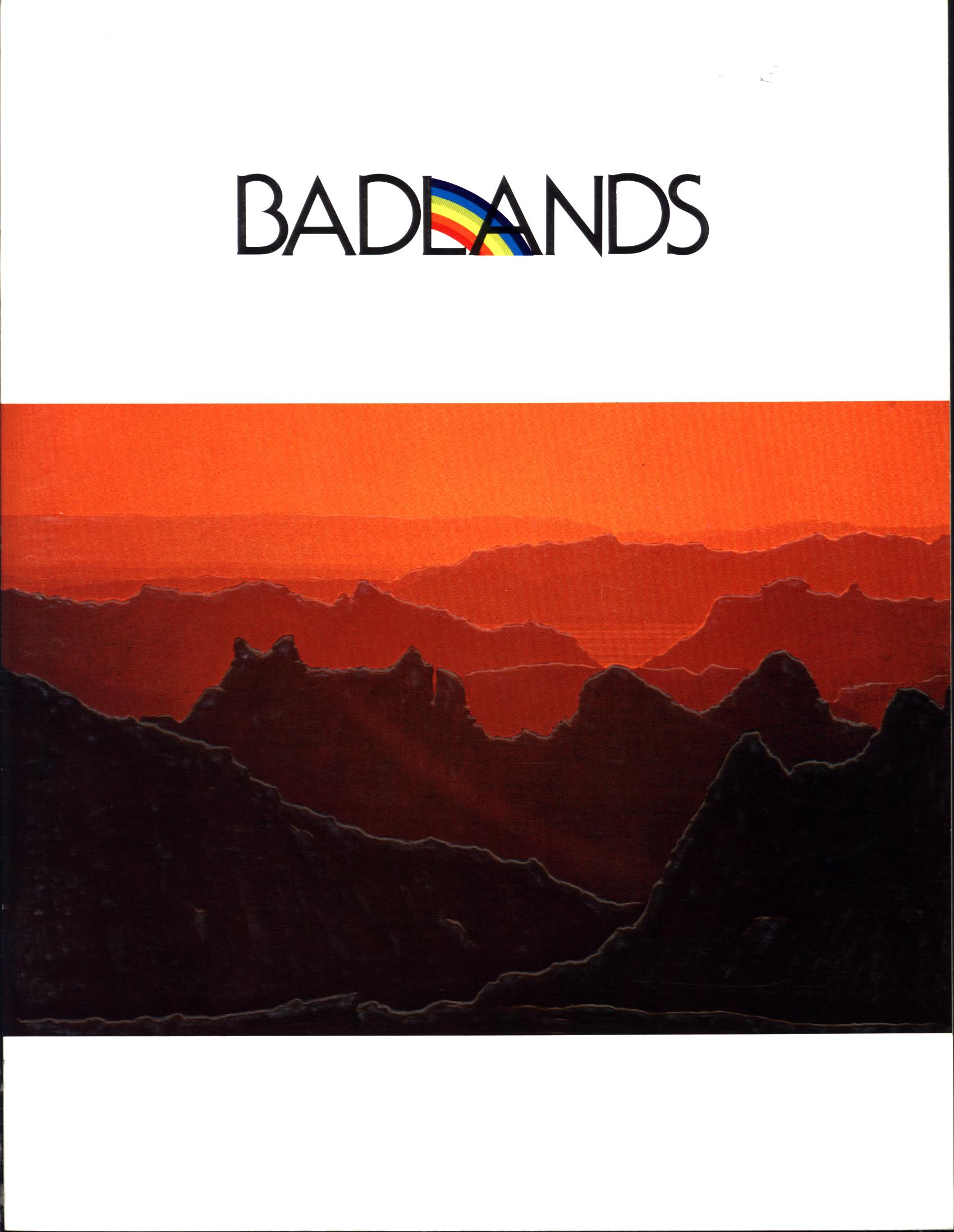 BADLANDS (SD). by Ruth Kirk.
Fossils and prairie wildlife of this national monument in South Dakota. Early-day trappers christened this landscape as "bad lands to travel across", for their myriad ridges and troughs But inside the rocks of this region are remains, fossils, of many animal species that once lived here--horses, tigers, camels, and more. Tells of the seasons, explorers, cattlemen, Native Americans and the current wildlife of bison, pronghorn, prairie dogs, coyotes, eagles and other bird species. Written as a celebration of the marvelous story of this unusual piece of America, Color photographs, 32 large-format pages.
Inventory = 2. ISBN: None. 1976. Order #: BADL6172 paper$4.95.
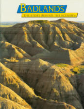 BADLANDS: the story behind the scenery (SD). Zarki.
Eroded landscape of South
Dakota, with its wildlife, plants, grassland, and fossils. 48 large-format
pages, color illustrations.
Inventory =1. ISBN: 0-88714-124-2. 1997. Order #: KCPU4678 paper$8.95.
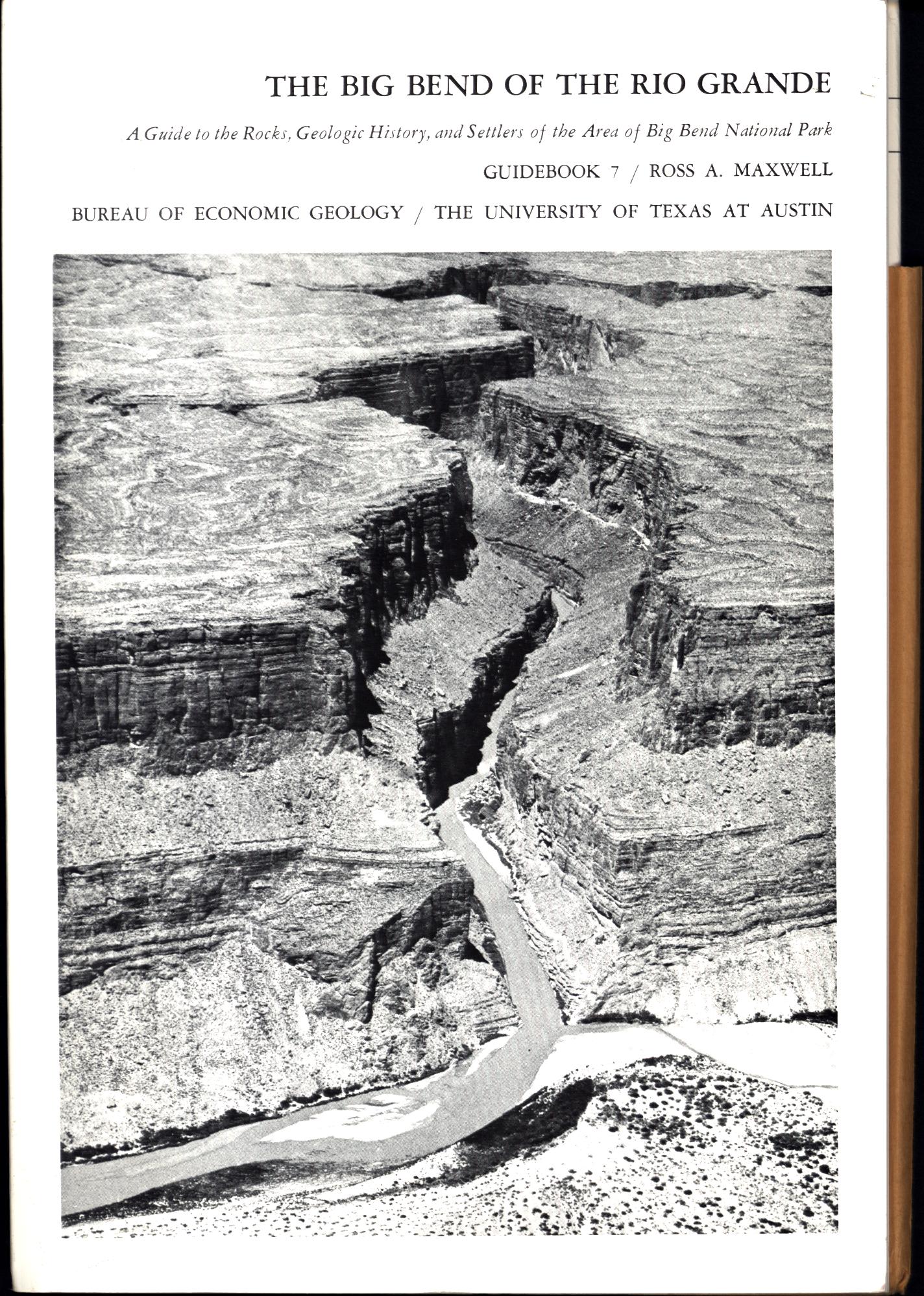 THE BIG BEND OF THE RIO GRANDE. by Ross A. Maxwell.
Geologic history explains how the landscape features were formed in this national park in Texas adjacent to Mexico. Explains the life that once lived here based on fossils discovered in rock layers. Includes
history and settlers of Big Bend
National park area. Maps in pocket show place names, panorama of The Basin in the Chisos Mountains, terrain features, cross sections of subsurface rocks, and large geologic map in color with rock formations, faults, and folds. Guidebook 7 of the Bureau of Economic Geology, University of Texas--Austin. Illustrated, 144 pages, index,
Inventory = 3. ISBN: None. 1979. Covers wrinkled. Order #: BUEG2292 paper$19.95.
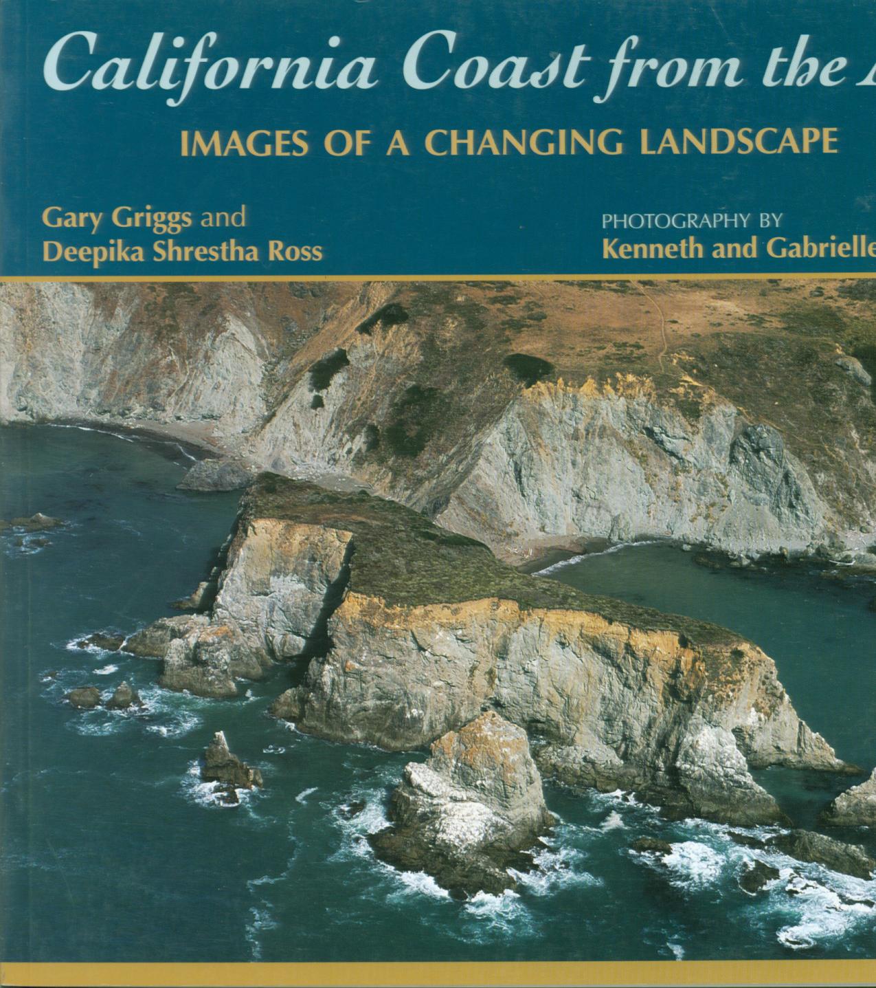 CALIFORNIA COAST FROM THE AIR: images
of a changing landscape. by Gary Griggs and Deepika Shrestha Ross.
176 pages of full-color photographs many from the air to show overall views revealing how this coastline is changing and the processes changing it.
Inventory = 1. ISBN: 978-0-87842-612-6. Order #: MOPR5560 paper$28.00.
#CALIFORNIA ROCKS! a guide to geologic sites in the Golden State. Baylor.
Inventory = 1. ISBN: 978-0-87842-565-5. Order #: MOPR8690 paper$16.00. CHECK STOCK
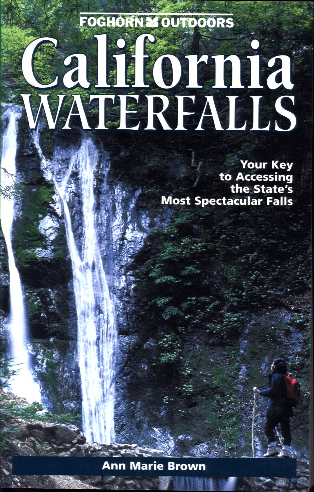 CALIFORNIA WATERFALLS: your key to accessing the state's most spectacular falls. by Ann Marie Brown.
Leads to over 200 of nature's most spectacular scenes in California. Includes tips on finding best falls with swimming holes, easy falls to walk to, backpacking trips to waterfalls, unusual cascades, famous falls of Yosemite Valley as well as ones not well-known. Over 150 photos, 80 maps, 41740 pages, index.
Inventory = 1. ISBN: 1-57354-07-6. 2000. Order #: PUBW2720 paper$17.95.
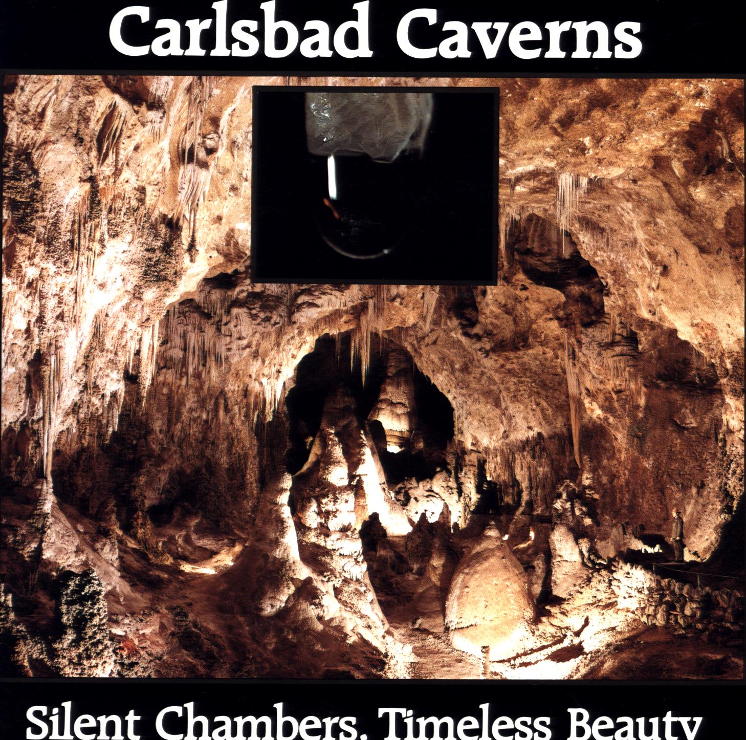 CARLSBAD CAVERNS: silent chambers, timeless beauty. by John Barnett.
Cave formation, exploration,
natural features of national park in New Mexico. Explains the geologic origin of this underground cave adorned with formations formed by mineral-laden dripping water in a massive cavern originally hollowed out of limestone rock. Tells of cave discovery and history of exploration and development including mining of guano deposited by the cave's extensive bat population. How the formations form, character of the various kinds. Tells what a cave tour is like and also of the natural landscape and its plants and animals above the cave. Diagram gives profile map of cave passages, entry, and rooms. Color photos, 36 large-format pages.
Inventory = 13. ISBN: None. 1981. Order #: CACA1888 paper$5.95.
 CARLSBAD CAVERNS NATIONAL PARK. by Ruth Radlauer.
Children's guide to underground area of bats and dripstone formations, and to desert above. How the cave and its stalagmites and other rock sculptures were made and are being made. Cacti, wildflowers, and animals of the area. For younger readers. Color photos, 48 pages.
Inventory = 4. ISBN: 0-516-47742-0. Order #: CHIL2065 paper$4.95.
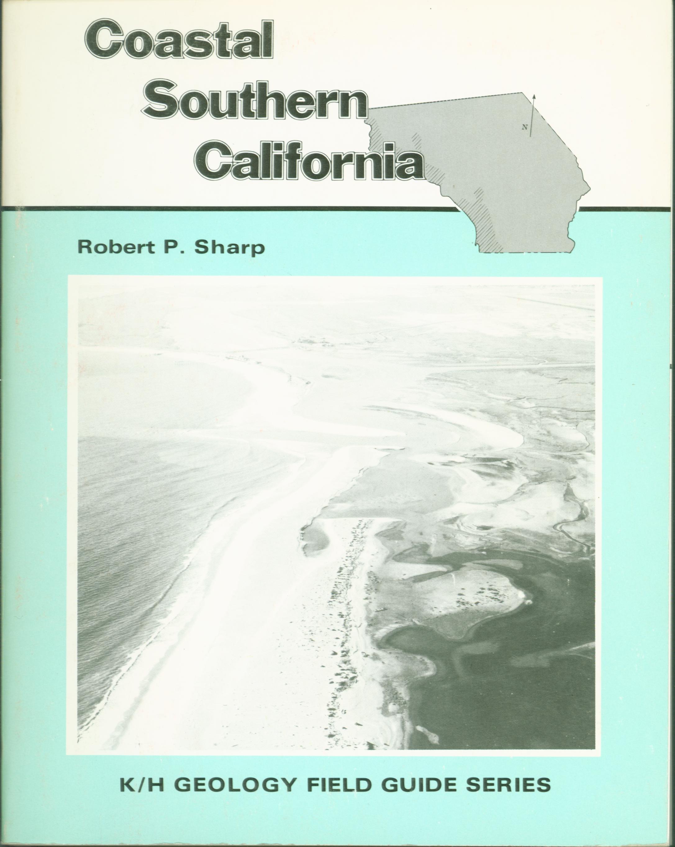 COASTAL SOUTHERN CALIFORNIA: field guide. by Robert P. Sharp.
Author sets the scene describing coastal processes of erosion and deposition due to ocean currents, sea-level changes, volcanic activity, and uplift of regional areas as well as the regional rock types and the varying influence processes have had on shaping them into their current forms. The creation of marine terraces is especially discussed, explaining how the gently-sloping wide benches near the sea were formed, reflecting changes in sea level due to glacial fluctuations of a few hundred feet. With this understanding, features are further described and explained along 18 auto tour guides of the region's roads. Maps, photos, 278 pages, index.
Inventory = 1. ISBN: 0-8403-1863-4. 1978. Order #: KEHU0750 paper$17.95.
 COLORADO PLATEAU: the story behind the scenery. Ladd.
Geology and topography of
this wondrous landscape of the Four Corners region of Colorado/Utah/Arizona/New
Mexico. Unusual rock formations and scenery and unusual weathering processes. 48
large-format pages, color illus.
Inventory = 1. ISBN: 0-88714-090-4. Order #: KCPU4736 paper$8.95.
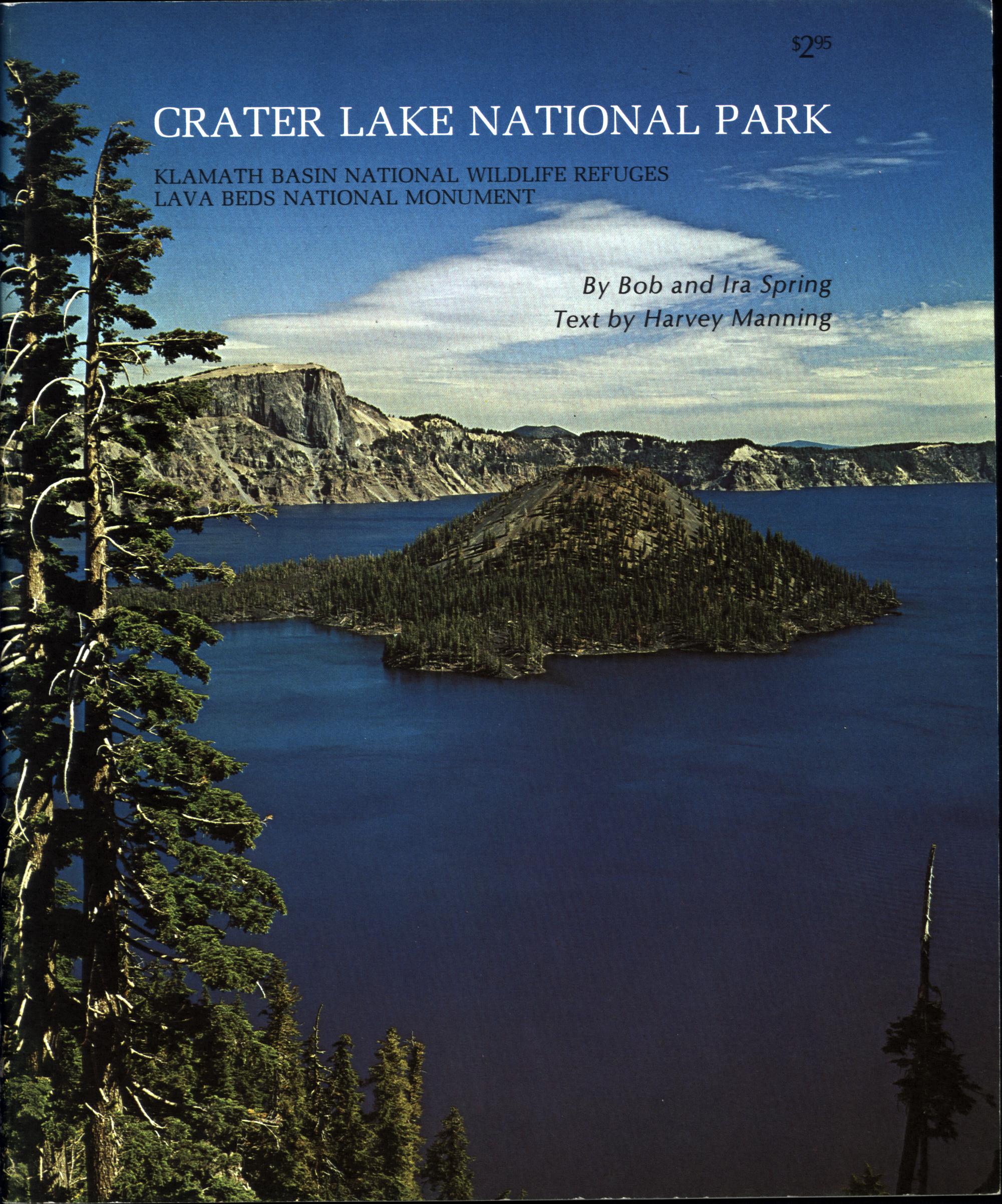 CRATER LAKE NATIONAL PARK (OR). by Harvey Manning with Bob and Ira Spring..
How this lake-filled volcanic caldera in Oregon was left when the great Mount Mazama blew into the sky. Also includes forests,
trails, wildlife, seasons and the s Tells of its glaciers past and present, boat tours on the lake, birdlife. Klamath Basin National Wildlife Refuges and Lava Beds
National Monument. Color photos by Mannings, 32 large- format pages.
Inventory = 11. ISBN: None. Order #: DARW2478 paper$2.95.
 COLORADO ROCKHOUNDING: a guide to minerals, gemstones, and fossils. Stephen M.
Voynick.
Colorado Rockhounding is a complete guide to the state's rich
and varied mineral, gemstone, and fossil sources. In Colorado, rockhounds may
pick agate and petrified wood from the vast Great Plains, follow dinosaur tracks
on hogback ridges, pan gold in mountain streams, hunt gemstones on towering
peaks, and search for metal sulfide minerals in historic mining districts. 392
pages 6 x9.
Inventory = 6. ISBN: 0-87842-292-7. 1994. Order #: MOPR1115 paper$20.00.
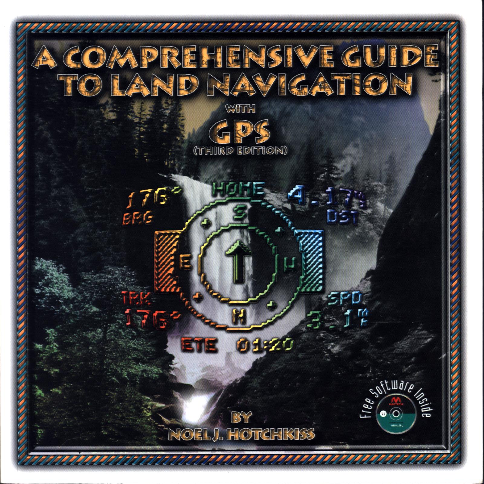 A COMPREHENSIVE GUIDE TO LAND NAVIGATION with GPS. by Noel J. Hotchkiss.
What Global Positioning Technology (GPS) can do and how it can best be used in a variety of everyday circumstances--navigating with GPS and map, navigating with and without a compass, highway travel with GPS, buying a GPS receiver. Included CD is for older versions of Windows only. Diagrams, sample maps, photographs, glossary, 316 pages, index.
Inventory = 1. ISBN:1-892688-00-X. 1999. Order #: MISC1424 paper$24.95.
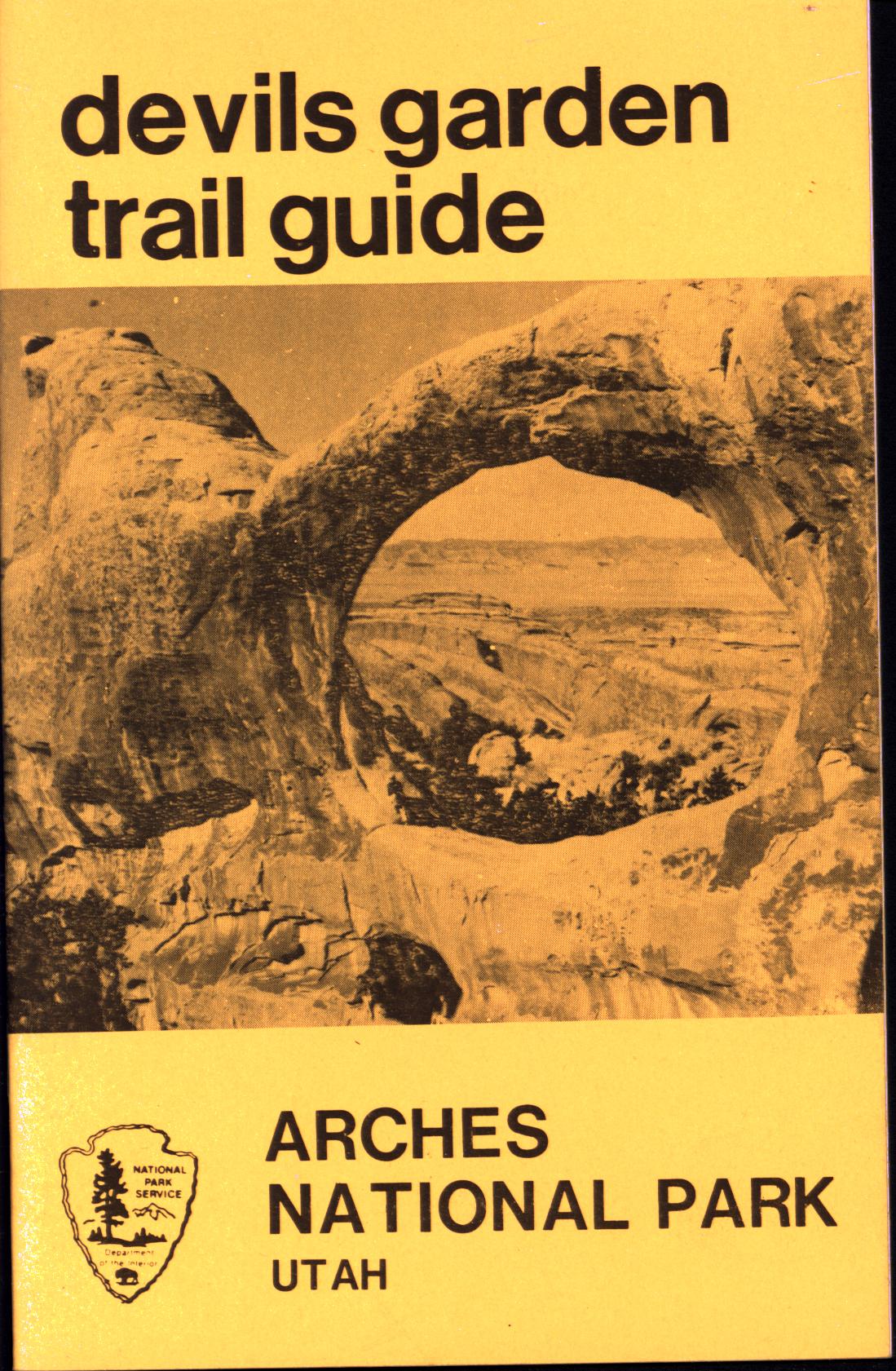 DEVILS GARDEN TRAIL GUIDE: Arches National Park (UT). Canyonlands Natural History Association.
Trail leads to seven arches, provides views of several more, overlooks Fin Canyon, and wanders through the habitat of plants and animals that have adapted to this arid climate of Utah desert. Arches seen are Pine Tree, Tunnel, Double O, Landscape (with a span of 291 feet, largest in the world), Partition, Navajo, Wall. Tells how arches are formed, identifies geological formations and plants of this desert environment in Utah. Map shows trail, indicates approximate hiking time (one-way) of 2 hours and a distance of 2 1/4 miles, although arches are seen all along the way so one can take a shorter hike. Photographs, map, 21 pages.
Inventory = 1. ISBN: None. Order #: CALA2202 paper$3.95.
#THE DEVILS POSTPILE.
Natural history of California national monument on
east side of Sierra Nevada: geology of volcanic posts, history.
Inventory = 1. ISBN: None. Order #: SEQU6769 paper$3.95.
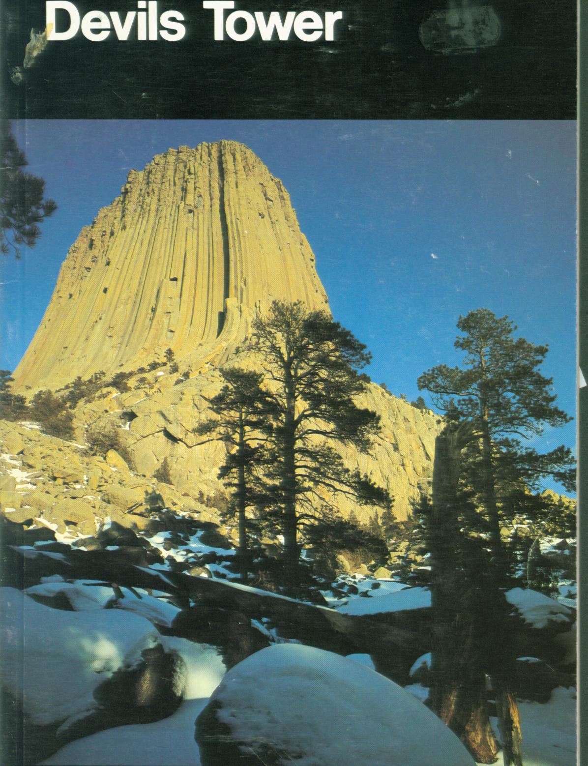 DEVILS TOWER (WY). by Greg Beaumont.
National Park Service
Handbook #111 to history and natural history of
towering volcanic rock formation in Wyoming, with travel info. How the tower was formed according to Native American legend and to geologists. Role in Native American culture, history of climbing, wildlife and plants. Includes nearby attractions. Color photos, 81 pages.
Inventory = 1. ISBN: 024-005-008101-1. 1981. Covers a bit scuffed. Order #: USGB2343 paper$5.95.
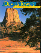 DEVILS TOWER: the story behind the scenery (WY). Norton.
interpretive view of this
monolith and the natural world surrounding its rise out of the Wyoming
landscape. This beautiful mystery tower is a source of excitement and
activity to climbers, geologists, storytellers and visitors from around the
world. 48 pages, color illustrations.
Inventory = 1. ISBN: 0-88714-051-3. 1991. First printing. Order #: KCPU4749 paper$8.95.
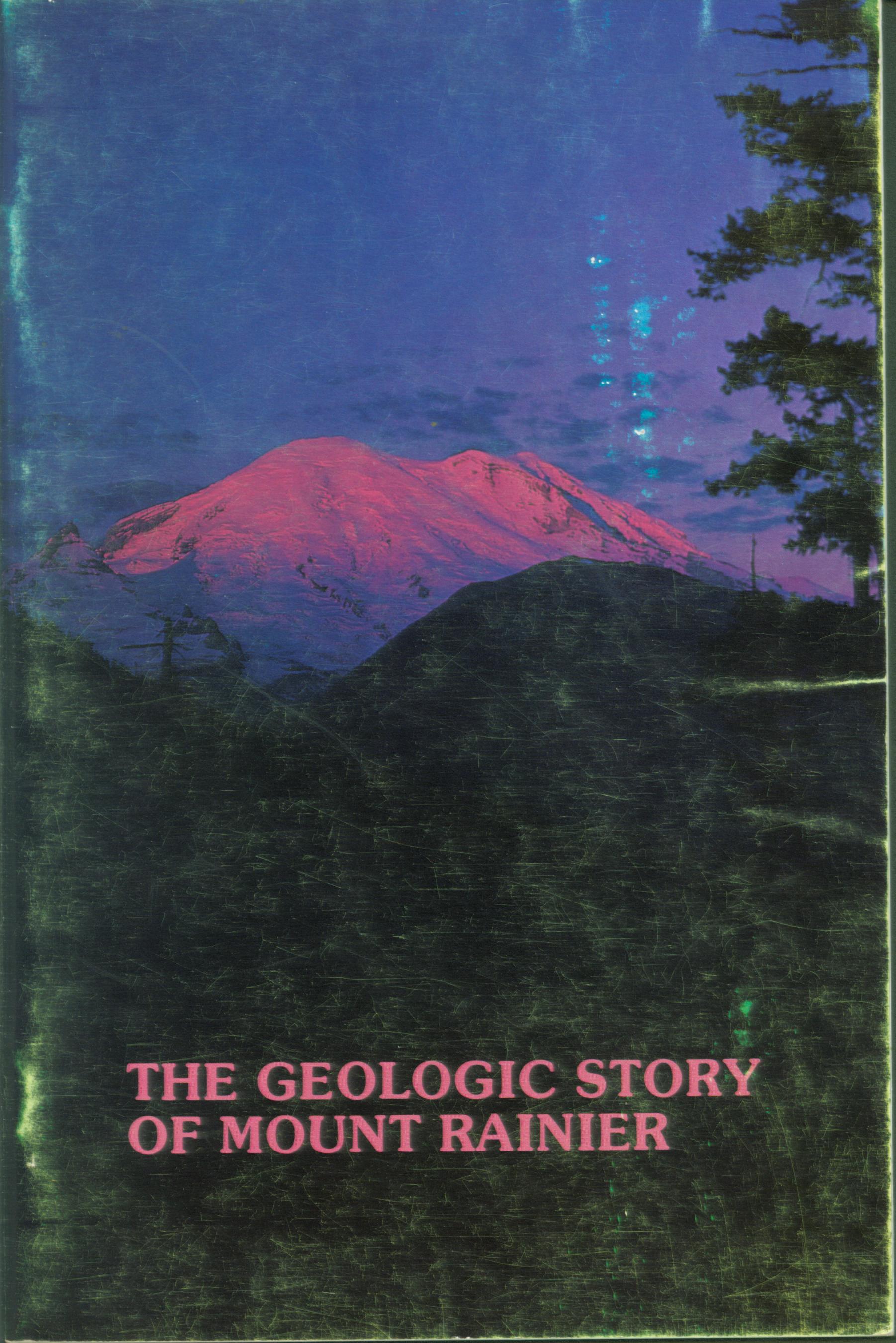 THE GEOLOGIC STORY OF MOUNT RAINIER. by Dwight R. Crandell.
Explains the story of this immense volcanic peak in Washington state near Seattle. How repeated volcanic explosions piled material into a great cone nearly 3 miles high. While these deposits accumulated over many thousands of years, eruptions have been as recent as a century and a half ago, within the time frame to be witnessed by explorer John Fremont. The mountain also has numerous glaciers on its upper slopes and at times meltwater from these icy masses starts flows of mud from some of the looser ash and pumice from eruptions, and the turbulent mix of mud and water comes cascading down ravines, one deep enough to submerge a pass by 400 feet. Although these are fascinating details to learn about, the author's story of this landscape feature will lead you to more.
Revised edition of U.S. Geological Survey Bulletin 1292. Maps, photographs, time chart, 40 pages.
Inventory = 1. ISBN: 1-0-914019-00-7. 1983. Scuffed covers. Order #: MISC1099 paper$4.95.
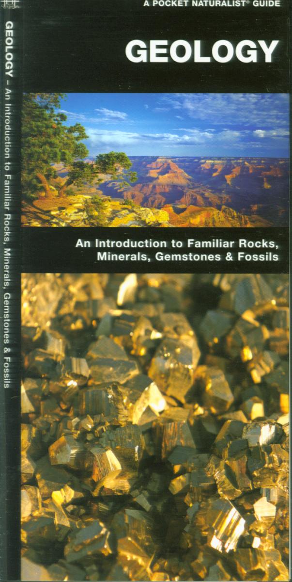 GEOLOGY.
Inventory = 1. ISBN: 978-1-58355-07-5. Order #: WATE4271 paper$6.95.
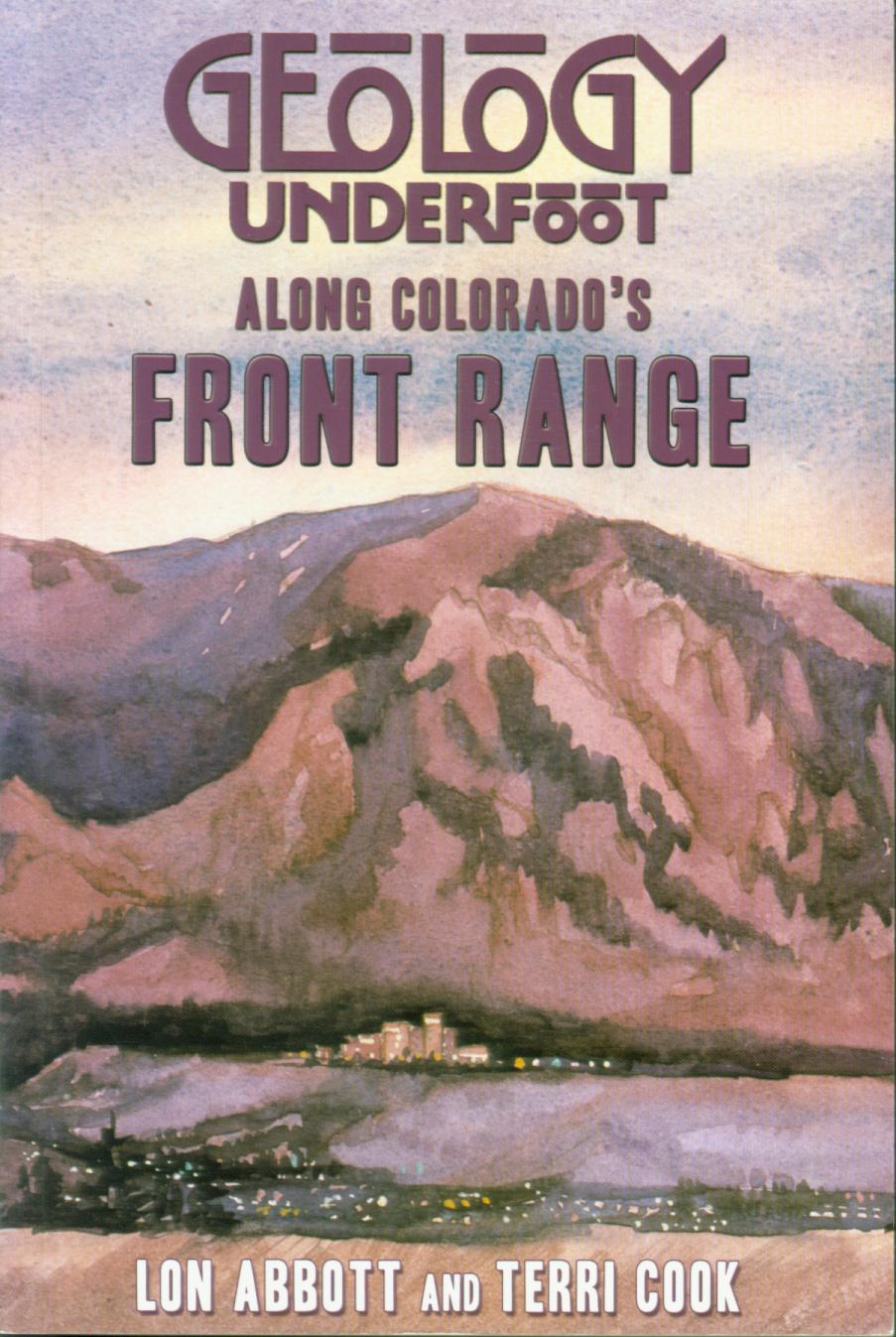 GEOLOGY UNDERFOOT ALONG COLORADO'S FRONT RANGE. Lon Abbott & Terri Cook.
Describes the landscape that transitions abruptly from the Great Plains to the craggy peaks of Colorado's Front Range. Sites explained include Dinosaur Ridge, Red Rocks, Florissant Fossil Beds, Rocky Mountain National Park, Eldorado Canyon, Royal Gorge.
Inventory =2. ISBN: 978-0. Order #: MOPR7556 paper$24.00.
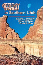 GEOLOGY UNDERFOOT IN SOUTHERN UTAH. by Richard Orndorff, Wobert
Wieder, & David Fute.
Standing before any
of southern Utah’s enigmatic landforms, it’s clear there’s a
story here. What carved the goblins in Goblin Valley, the
domes at Capitol Reef, the towering sandstone walls of Zion
Canyon, and Bryce’s hoodoo fairyland, not to mention all
those arches and natural bridges? Geology Underfoot in
Southern Utah explores the stories behind 33 handpicked
sites—some world-famous, others off the beaten path. Marvel
at tales of ancient eruptions, deserts, seas, and swamps;
the movements of massive rock units over eons; and the
rock’s interactions with the life above it, including
humankind. Along the way, visit dinosaur trackways, old
mines, rock glaciers, oysters in the desert, and more. 318
pages.
Inventory = 1. ISBN: 0-87842-517-9. Order #: MOPR1103 paper$20.00.
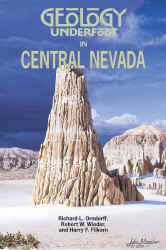 GEOLOGY UNDERFOOT IN
CENTRAL NEVADA. by Richard L. Orndorff, Robert W. Wieder, & Harry F.
Filkorn.
"This invaluable guide enthusiastically and
appealingly describes two dozen geological attractions in
Nevada near U.S. Highway 50...Interpretation of the
landscape fills each chapter, and the authors present the
evidence and reveal the reasoning process that led them to
their scientific conclusions." —Science Books & Films: Your
Guide to Science Resources for All Ages, American
Association for the Advancement of Science.
Most people think of Nevada as a land of casinos and
drive-in wedding chapels punctuating vast expanses of
desolate desert. But at the heart of the Basin and Range
province, the Silver State is also a geologist's playground,
with great topographic relief exposing spectacular geology.
Cutting a wide swath that straddles U.S. 50, Geology
Underfoot in Central Nevada explores 21 diverse walking
and driving tours from Lake Tahoe and Reno east to Great
Basin National Park.
In Ichthyosaur State Park, examine fossil remains of giant
sea lizards as you imagine the ocean that covered Nevada
more than 200 million years ago. In Great Basin National
Park, walk where glaciers sculpted the slopes of 13,063-foot
Wheeler Peak, the second highest mountain in Nevada, and go
underground in Lehman Caves to marvel at dripstone features
called speleothems. South of Carson City, place your hand on
an active earthquake fault that continues to lift the Carson
Range--evidence that, at least geologically, Nevada is still
a work in progress. Illustrated, 320 pages.
Inventory = 1. ISBN: 0-87842-418-0. OUT
OF PRINT; we have 1 copy left. Order #: MOPR1104 paper$18.00.
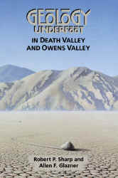 GEOLOGY UNDERFOOT IN DEATH VALLEY AND OWENS VALLEY. by Robert Sharp & Allen Glazner.
"Robert Sharp
and Allen Glazner are to geology what Carl Sagan was to
astronomy."
—Eclectic Book Reviews. Eastern California boasts the greatest dryland relief in the
contiguous United States, between 14,499-foot Mount Whitney
in the Sierra Nevada and minus-282-foot Badwater Basin in
Death Valley. That relief offers a rich variety of
environments--and spectacular geology. Through driving and
walking tours, Geology Underfoot in Death Valley and
Owens Valley provides an on-the-ground look at the
processes sculpting the terrain in this land of extremes.
Illustrated with photographs, maps, and diagrams, each
geological vignette weaves the tale of a particular scene,
feature, or relationship in the landscape. Some sketches
ponder questions that have puzzled geologists: what formed
the turtlebacks in the Black Mountains and how do stones
mysteriously slide on desolate Racetrack Playa? Others
spotlight the role of volcanoes and earthquakes as landscape
artists: the superb lava columns of Devil's Postpile, the
massive steam explosion at Ubehebe Crater, and fault scarps
that shape a golf course's greens. Still others focus on
less obvious but equally powerful geologic processes:
boulders shattered by salt crystals and rocks blasted by
windblown sand. Together, these snapshots introduce readers
to eastern California's rich, dynamic geology. 329 pages.
Inventory = 1. ISBN: 978-0-87842-362-0. Order #: MOPR1105 paper$20.00.
#GEOLOGY UNDERFOOT IN YOSEMITE NATIONAL PARK. Glazner
& Stock.
Inventory = 1. ISBN: 978-0-87842-568-6. Order #: MOPR8688 paper$24.00. CHECK STOCK.
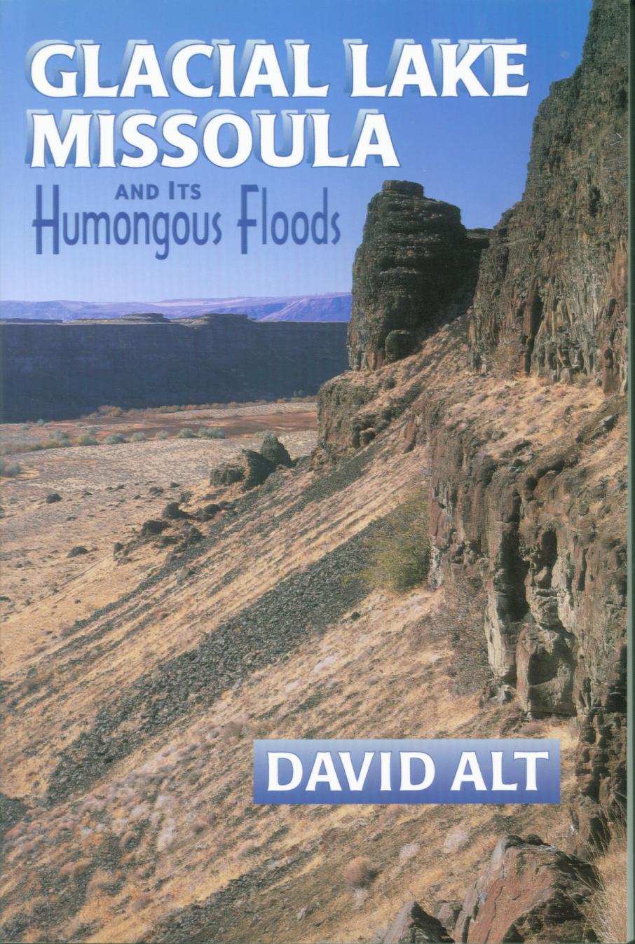 GLACIAL LAKE MISSOULA AND ITS HUMONGOUS FLOODS. by David Alt.
Tells the tale of a huge Ice Age lake that flooded Missoula and drained suddenly and repeatedly to scour across the Idaho Panhandle then through eastern Washington to produce the Scablands and down the Columbia Gorge to he Pacific Ocean. 207 pages, photos, maps, and drawings.
Inventory = 1. ISBN: 978-0-87842-415-3. Order #: MOPR1130 paper$15.00.
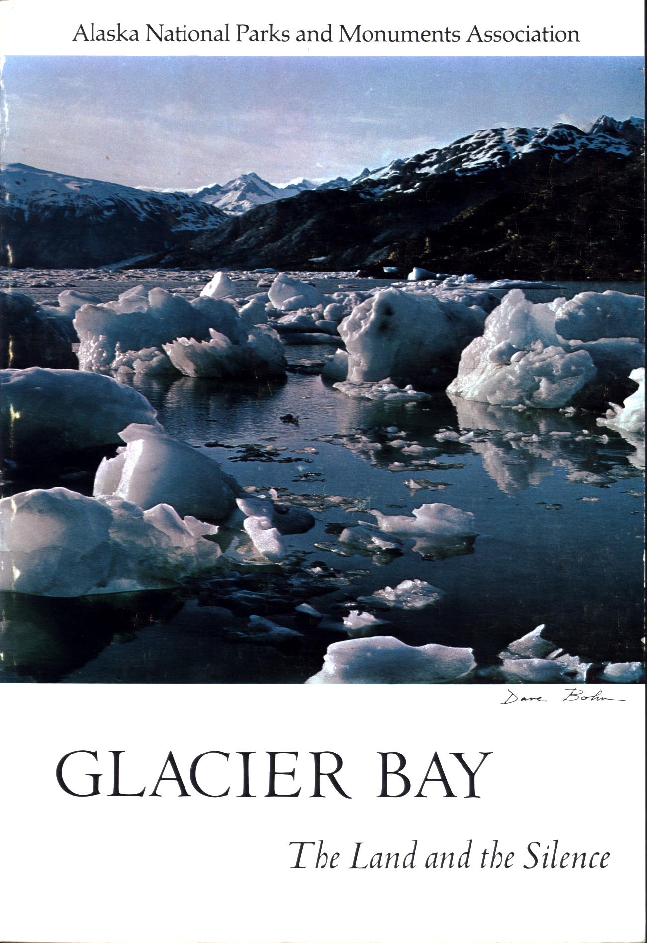 GLACIER BAY: the land and the silence (AK). by Dave Bohn. Foreword by David Brower.
History and nature of Alaska national
monument from earliest explorations by white men of the wild Alaska coast to explorations and surveys including trip by John Muir, prospectors, establishment of the area as a national monument (now a national park and preserve) and changes in the ice front as it expanded and contracted (mainly contracted). Color photographs, maps, appendix of place names, bibliography, 159 pages, index.
Inventory = 6. ISBN: None. 1967. Order #: ALAS1882 paper$7.95.
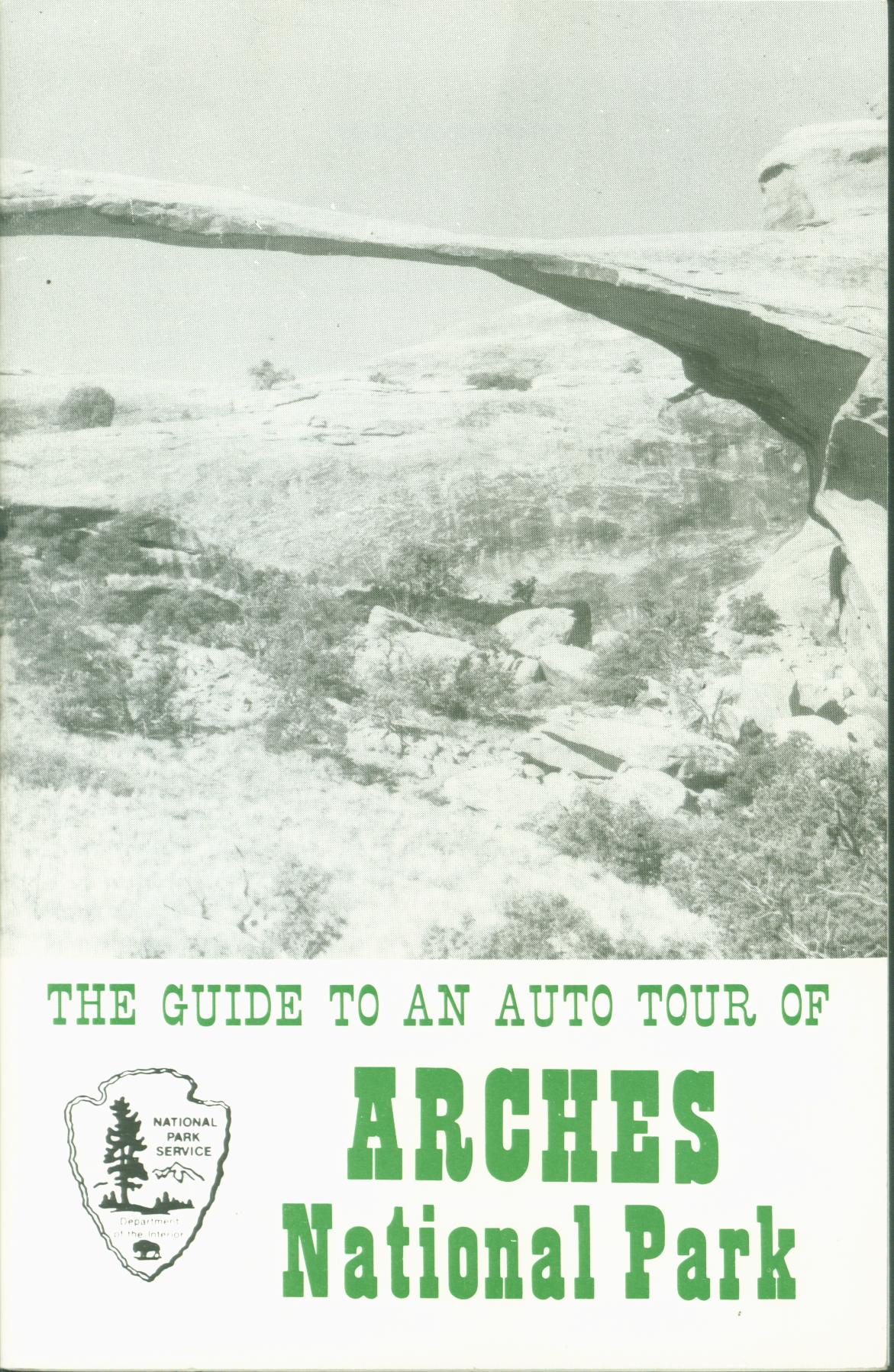 THE GUIIDE TO AN AUTO TOUR OF ARCHES NATIONAL PARK (UT). by National Park Service and Canyonlands Natural History Association..
Describes arches, spires, balanced rocks, and other geologic oddities along the roadways of this national park in Utah, explaining their origins and giving history of arch formation and collapse. Rock types are explained both as background to help understand the arch structures but also to know more about how Earth processes of erosion and sedimentation produced the original material that became the sandstones and shales of the region and in which the unusual features are carved. The role of upward movement of salt domes to create upward pressures on overlying earth is explained as are faults that have moved segments of the Earth into new positions. The pioneer Wolfe ranch is identified at one spot. Photographs, map, 28 pages.
Inventory = 2.ISBN: None. Undated. Order #: CALA2201 paper$3.95.
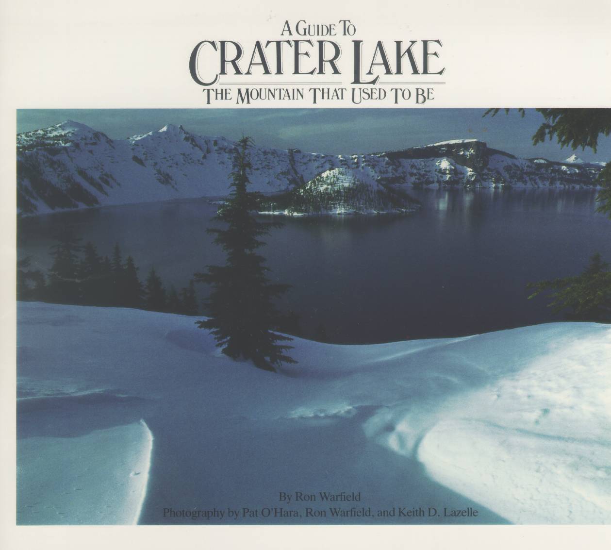 A GUIDE TO CRATER LAKE: the mountain that used to be (OR). by Ron Warfield.
Describes and explains features of this national park in Oregon. Origin of volcanic
caldera that contains this deep lake--how there was once the large volcanic Mount Mazama which blew up in a gigantic explosion, not only blasting the upper part of the mountain away but evacuating much of its core as well to leave a void, now water-filled to a depth of 1,932 feet, deepest in the United States. Gives park history including surveys and early tourism. Plants and animals are described and features seen on a rim drive are outlined at vista points. Several hiking trails are available. Color
photographs, 48 pages.
Inventory = 2.ISBN: 0-933369-01-8. 1985. Small worn spot on back cover. Order #: CRLA0366 paper$4.95.
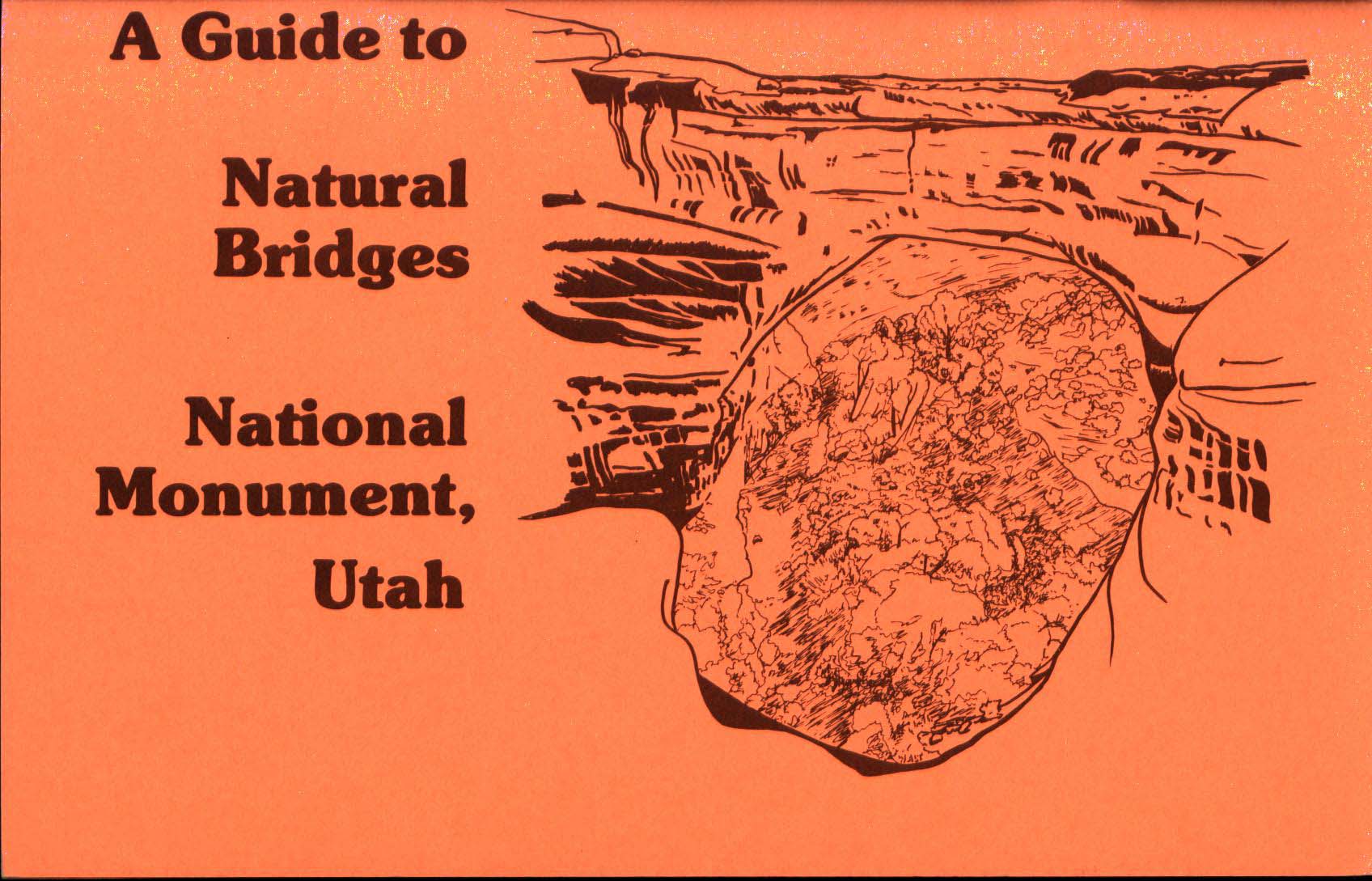 A GUIDE TO NATURAL BRIDGES NATIONAL MONUMENT, UTAH. by Canyonlands Natural History Association.
Nature and history at points along park roads of Utah site. Points out and describes the rocks and several bridges, trees, wildlife, and Native American heritage of this desert area. Photos, maps, 45 pages.
Inventory = 2.ISBN: None. Order #: CALA2204 paper$3.95.
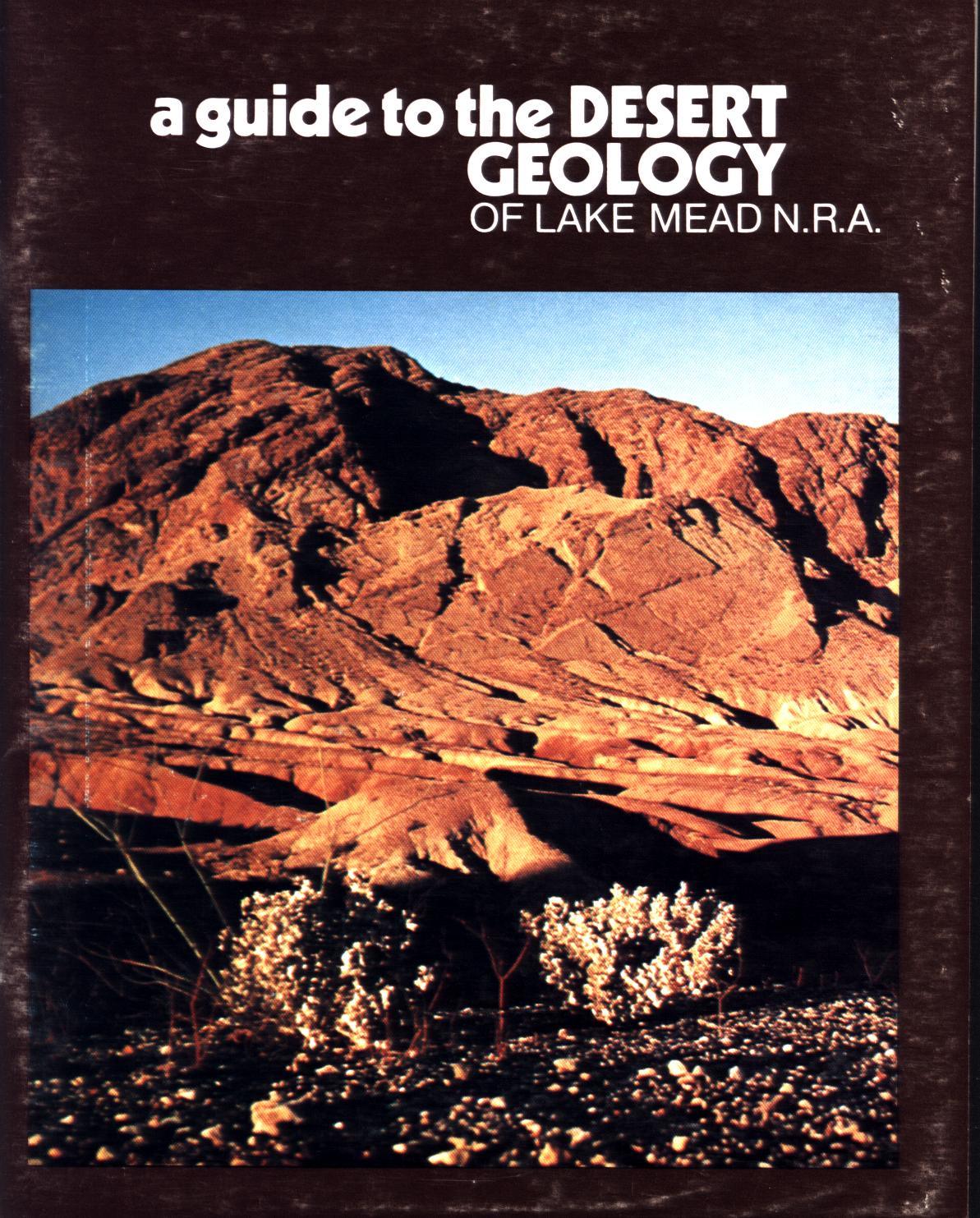 A GUIDE TO THE DESERT GEOLOGY OF LAKE MEAD NATIONAL RECREATION AREA (AZ/NV). by John v. Bezy.
The desert landscape of this Arizona/Nevada area in many places reveals its geological character more clearly for here there is essentially no vegetation cluttering the view and the appearance of the rocks. Presents explanations of faults, alluvial fans, former lake beds, the sand cycle, hot springs, salt deposits,sink holes, volcanic dikes, cross-bedding, graben--30 geologic features in all.. Photos, drawings, 68 pages.
Inventory = 7. ISBN: 0-911408-51-7. 1978. Covers scuffed. Order #: SOPM1316 paper$4.95.
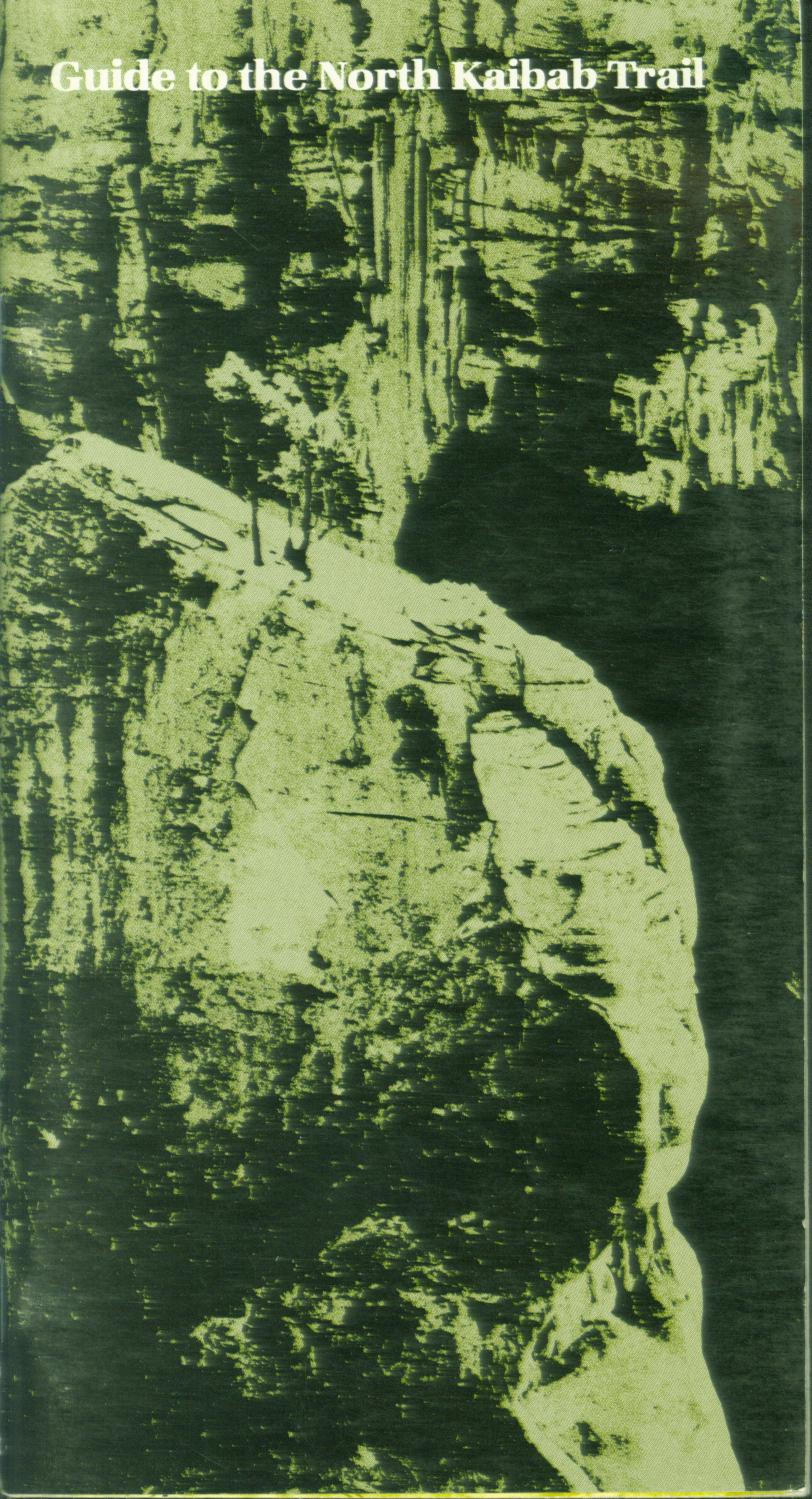 GUIDE TO THE NORTH KAIBAB TRAIL (AZ). by Allen Berkowitz.
Details history of trail and provides mileages from the North Rim trailhead past Roaring Springs, Ribbon Falls, and Phantom Ranch, with the Colorado River crossing and the start of the trail up to the South Rim not far beyond. Section maps give still more detail of trailside features and destinations and include notes on the changing geology as the trail crosses differing rock formations. Wildlife, human history, and the story of ancient Anasazi Indians is also pointed out where pertinent. Location of ranger services is noted. Photographs, maps, drawings, 34 pages.
Inventory = 5. ISBN: 0-938216-10-4. 1980. Order #: GRCA0563 paper$3.95.
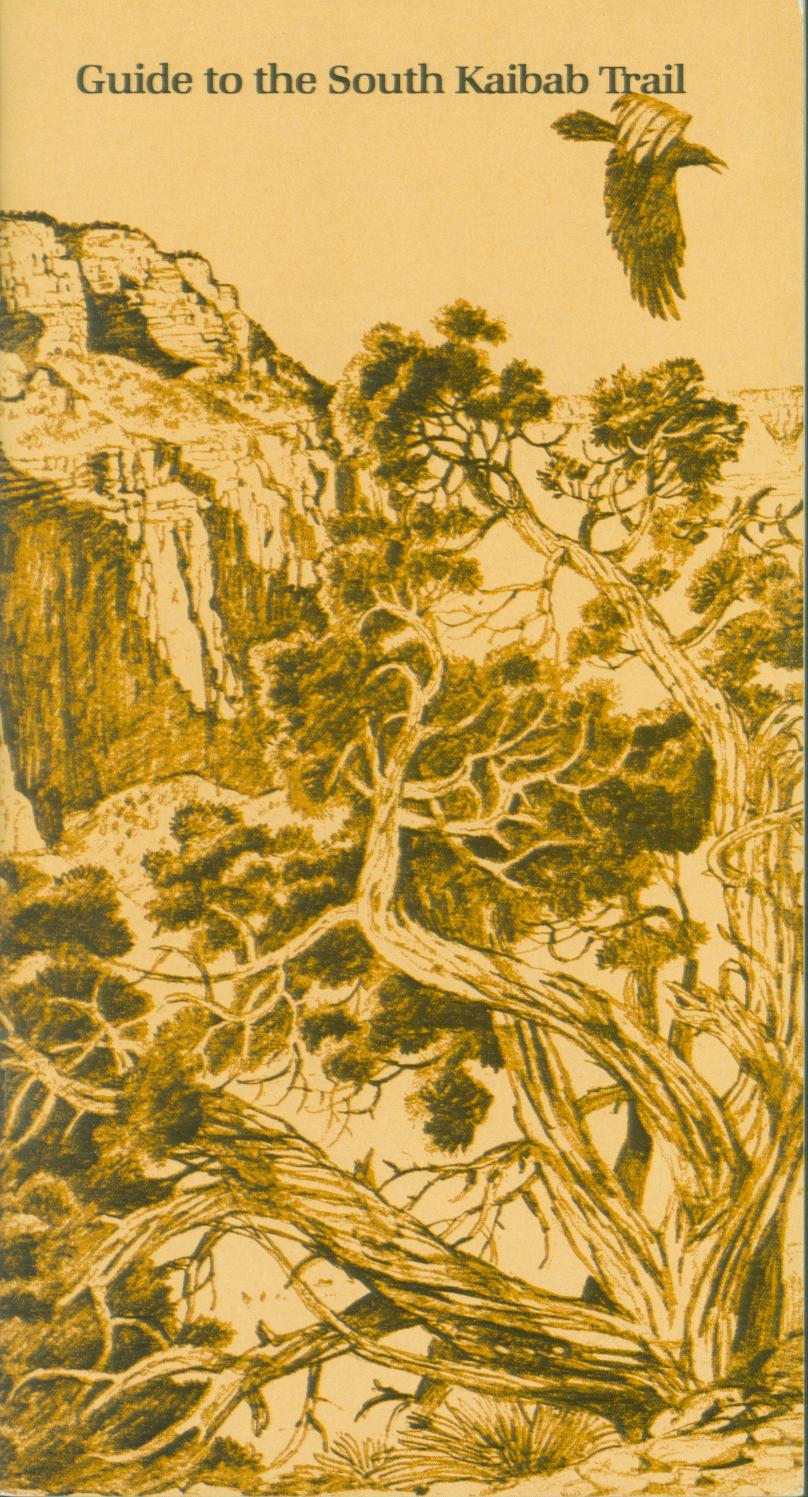 GUIDE TO THE SOUTH KAIBAB TRAIL (AZ). by Rose Houk.
Explores the natural history of this trail from the South Rim of the Grand Canyon to the Colorado River, developing an understanding and therefore an appreciation of the features to be seen. Sections describe The Rocks, The Desert, and The River with notes about the special character of each including geology, wildlife, flowers, history , interactions, enjoyment of the scene. And so this is not a trail guide in the usual sense but an interpretation of what can be seen. Fold-out drawings, map, 24 pages.
Inventory = 3. ISBN: 0-938216-15-5. 1981. Order #: GRCA0569 paper$3.95.
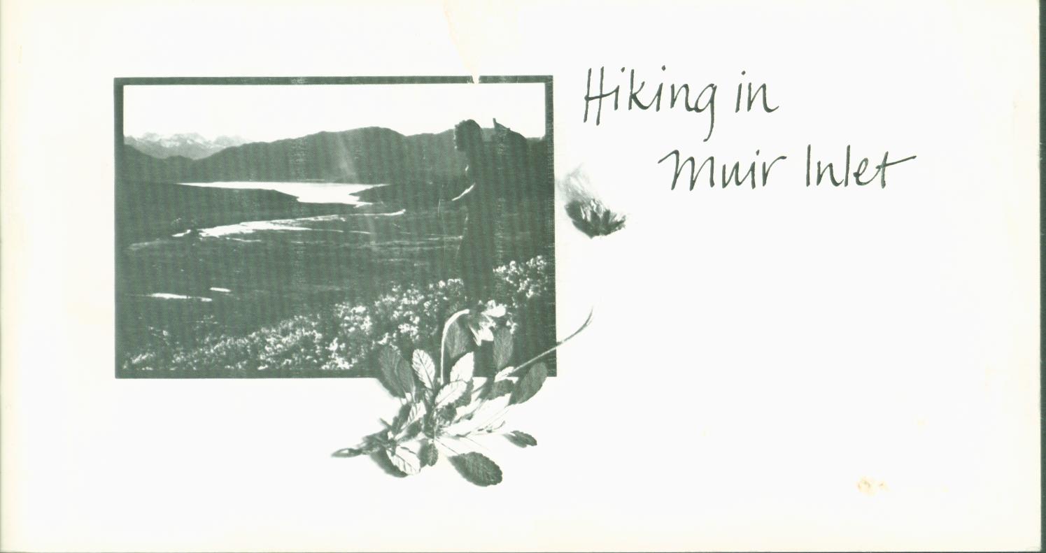 HIKING IN MUIR INLET: Glacier Bay National Monument, Alaska. by Carolynn Elder.
There are no roads in this area so unless on a boat or plane, to see it you will hike.. This is a general discussion of what it is like to hike here, the scenes from which glaciers are retreating/have retreated and the new vegetation that is appearing now that they are gone.
Natural history and hiking information to this wilderness for day hikes and backcountry camping is given, with special concerns presented such as grizzly bears, melting ice, ice caves, mosquitoes, tides, crossing meltwater streams. Photos, 40
pages.
Inventory = 5. ISBN: 0-9602876-2-0. 1980. Front cover may be scuffed. Order #: ALAS2242 paper$3.95.
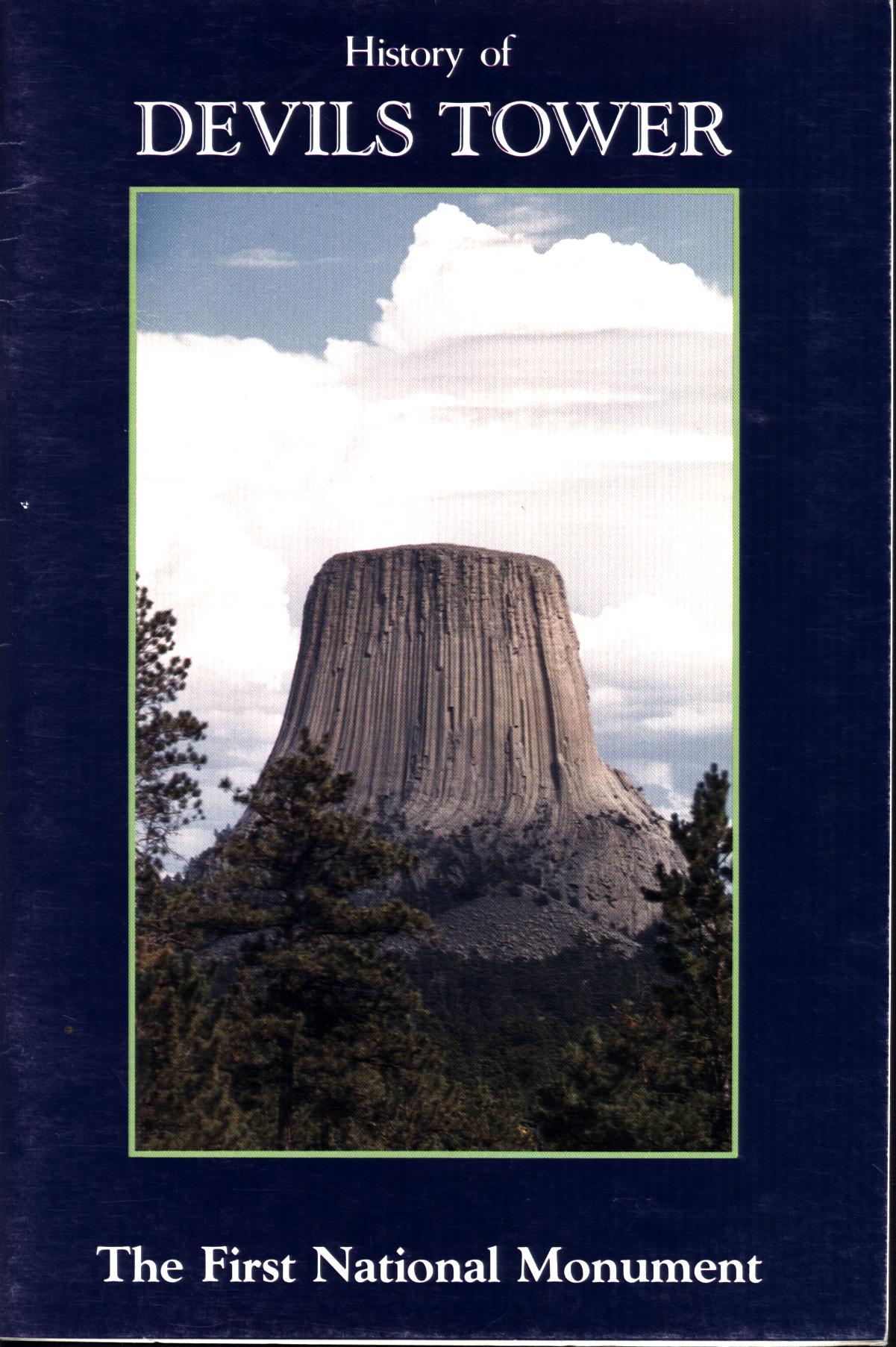 HISTORY OF DEVILS TOWER: the first national monument (WY). by Ray H. Mattison.
Origin of the tower was explained by Indian legends in which the rock grew to save people from bears. And so the rock grew so high the bears' jumps only caused them to scratch the rock with their claws and not reach the people, thus leaving the vertical lines still seen on the tower. There are volcanic origin explanations as well, developed by early U.S. Geological Survey parties. The Tower was proposed as a national park in 1892 and became a national monument, the first, in 1906. But before that a ladder was built up the Tower so that visitors could get to the top.
After the period of the ladder a parachutist landed on the top but had to be rescued by a climbing party. Thousands of other climbs of the Tower have since occurred, but are now coordinated with sensitivities of regional Native Americans who find religious connections with it. Short biographies of park superintendents are presented as is a chronology of events. Photographs, 20 pages.
Inventory = 1. ISBN: None. 1984. Order #: DETO2233 paper$3.95.
 HUNTING DIAMONDS IN CALIFORNIA. by Mary Hill.
Where to hunt for these gems, how to identify them, locate your claim, and
cut them. Characteristics of diamonds, world occurrences, and sites in California where they have been found, many in the Mother Lode of the Sierra in the process of hydraulic mining where banks of ancient river gravels are washed away, leaving their heavier components. Others have been found in beach sands but hone where they originally formed. Illustrated, 80 pages, extensive bibliography.
Inventory = 4; otherwise out of print. ISBN: 0-911010-96-3. Order #: NAGR5717 paper$5.95.
 HYDRAULIC GOLD-MINING IN CALIFORNIA, 1883. by Taliesin Evans.
By the 1870s and 1880s in the California gold country, the gold that had been easy to
pick up already had been. But there was lots more, buried in the earth. A massive plumbing
system was built to harness water as a tool to wash the earth away and leave a residue of
heavy metals, especially gold. Meanwhile, though, mud and gravel released in the process
washed downstream to inundate farms and homes. Dwellers there objected, and in court they
effectively stopped the hydraulic mining--one of the earliest environmental court actions.
But when our author was there, his interest was describing a vital western industry. And
the mines can still be seen--Interstate Highway 80 runs right through one at Gold Run, and
another is the Malakoff Diggings State Historical Park, where you can not only see the
washed banks but also some of the nozzles and mining equipment used to get the gold out.
Reprinted from 1883. Illustrations are from the original article and other period sources. See sample pages, illustrations.
Inventory = in stock in quantity. ISBN-10: 0-89646-052-5.
ISBN-13: 978-0-89646-052-2. 16 pages. Order #: VIST0052 paper $4.95.
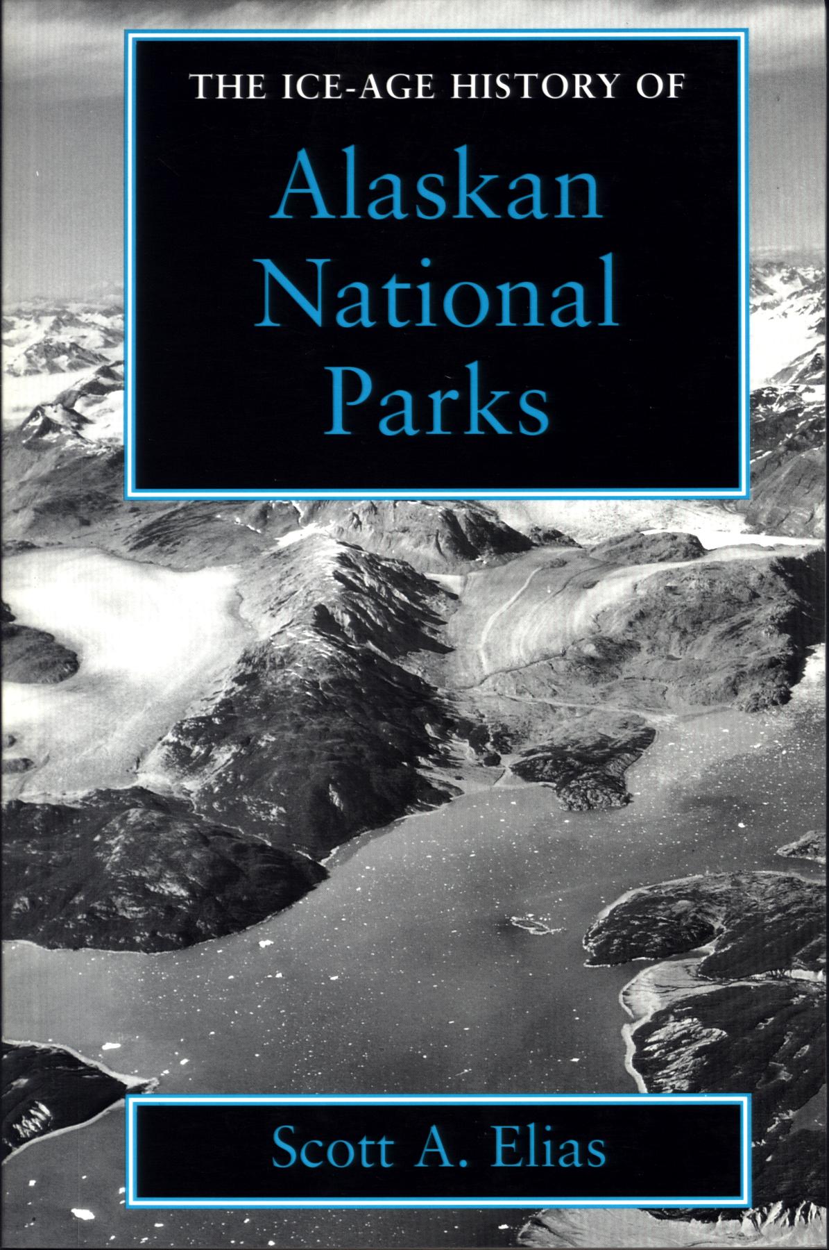 THE ICE-AGE HISTORY OF ALASKAN NATIONAL PARKS. by Scott A. Elias.
Focuses on more than 30,000 years of Alaskan prehistory to describe the geology, climate, ancient plant and animal life, plus human presence in
Denali, Kenai Fjords, Glacier Bay, and Bering Land Bridge national parks and preserves. Uncovers a time when glaciers shaped the landscape, carving cirques and leaving moraines that dammed rivers to form lakes. With fossils from this period, the landscape of the time is recreated, where bogs and steppe tundra harbored caribou, moose, saber-toothed cats, and mammoths. Photographs, drawings, maps, and charts, 160 pages, index.
Inventory = 1. ISBN:1-56098-424-4. 1995. Order #: SMIN2231 paper$17.95.
 JEWELL CAVE: the story behind the scenery (SD). Rosga.
Cave formations and processes plus the above-ground wildlife and plants. 48 large-format pages, color illustrations.
Inventory = 1.ISBN: 0-88714-139-0. 1998. Order #: KCPU4788paper$11.95
#A JOURNAL OF RAMBLINGS THROUGH THE HIGH SIERRAS OF CALIFORNIA. by Joseph LeConte.
First excursion of University of California professor into the Sierra, with his students. Daily experiences of camp life and mountain explorations, plus geological speculations at the time when understanding of the origin of Yosemite Valley and the remnant glaciers of the higher areas was being considered. Includes meeting with John Muir on the trail and also at Tenaya Lake in what is now Yosemite National Park.. 135 pages, index.
Inventory = 1. ISBN: 0-939666-70-7.
Order #: HEYD3355 paper$7.95.
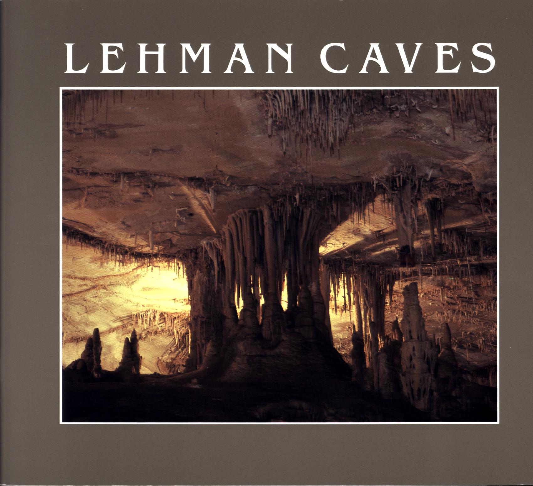 LEHMAN CAVES (NV). by Jeremy Schmidt.
Description, and guide to cave located in eastern Nevada, now part of Great Basin National Park. Presents "The
Living Cave", "Earthworks", "Cave Life", "History". Describes cave origin, processes, rock dripstone formations and how they were produced, unusual animal residents of the underground. Color
illustrations, cave maps, diagrams, 34 pages.
Inventory = 21. ISBN: None. 1987. Order #: GRBA4587 paper$5.95.
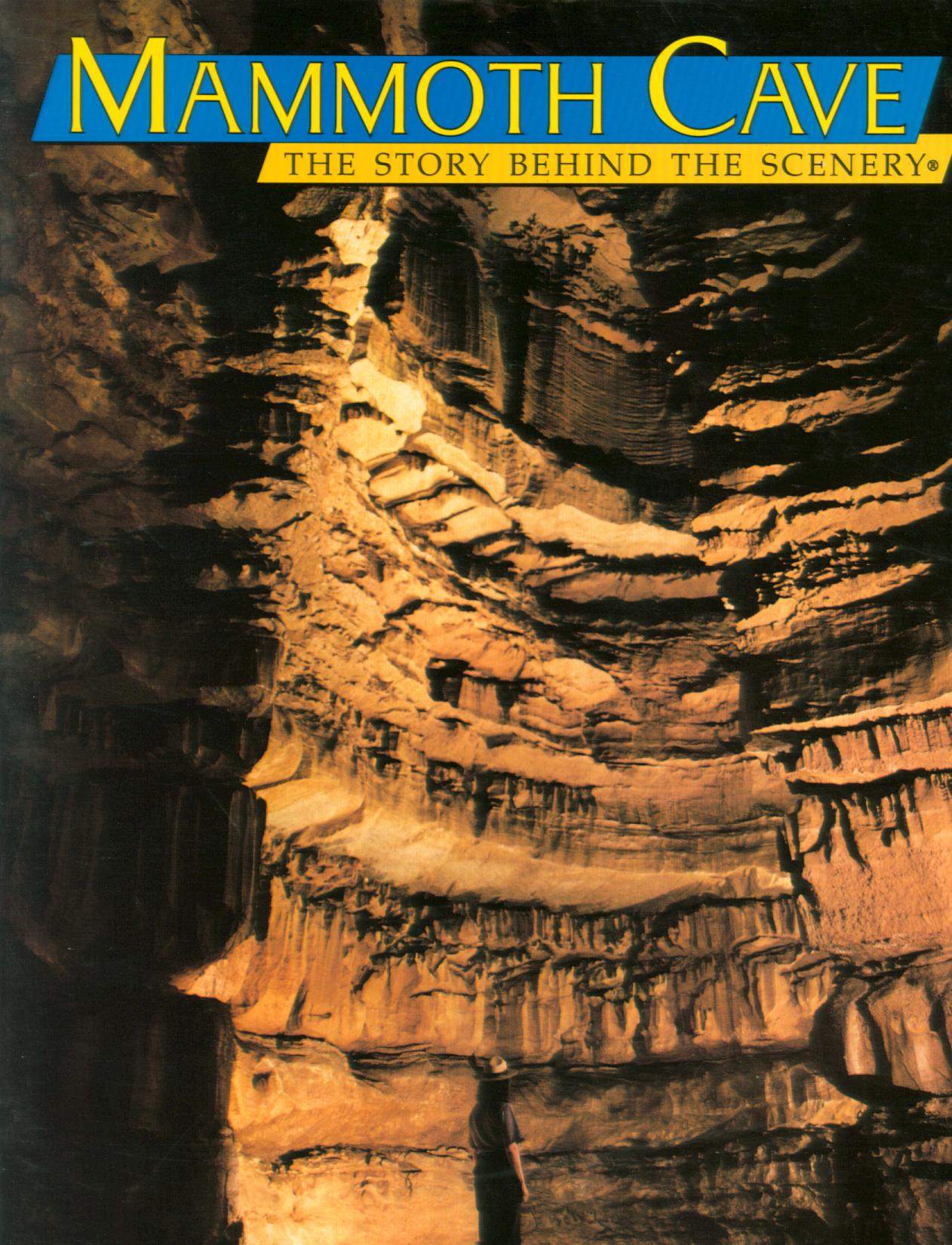 MAMMOTH CAVE: the story behind the scenery (KY). Lyons.
Welcome to the two worlds of Mammoth Cave National Park. In the worlds of
light, see the wildlife of the landscape. Within the cave, encounter
creatures with special adaptation to the dark.
9x12, 48 pages, 72 color photos & 2 maps.
Inventory= 1. ISBN: 0-88714-003-3. 1993. Third printing. Order# : KCPU4791 paper$8.95.
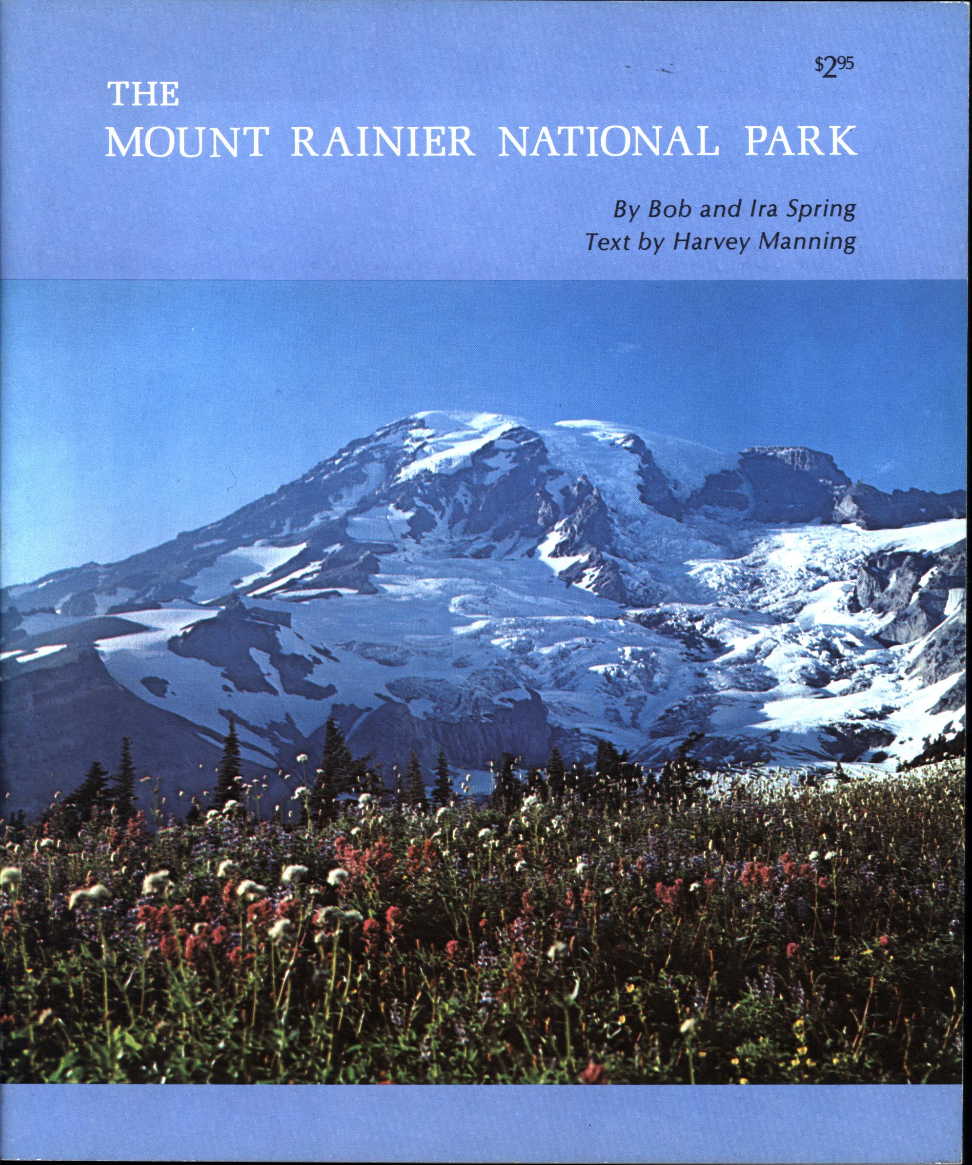 THE MOUNT RAINIER NATIONAL PARK (WA). by Harvey Manning with Bob and Ira Spring. .
Geologic history of this volcano in Washington state--perhaps not yet dormant as evidenced by recurrent mudflows streaming down valleys cut into the mountain's slopes, possibly due to heat or steam still emanating upward from lava below. Also covered are the park's forests, subalpine and alpine flowers,
wildlife, glaciers and ice caves, ice climbing and summit ascents, the long winter. Photos, 32 large-format pages.
Inventory = 4. ISBN: None. Order #: DARW0395 paper$2.95.
 MOUNT ST. HELENS IN PICTURES--the continuing story (WA). Quiring.
A volcanic blast in
Washington state in the year 1980 sent ash-laden air down the mountain
slope and its surrounding region, leveling trees, and removing the side of the
volcano itself. 58 people were killed, habitat was changed. 48 large-format
pages, color illus, some before and after.
Inventory = 1. ISBN: 0-88714-055-6. 1991. First printing. Order #: KCPU4855 paper$8.95.
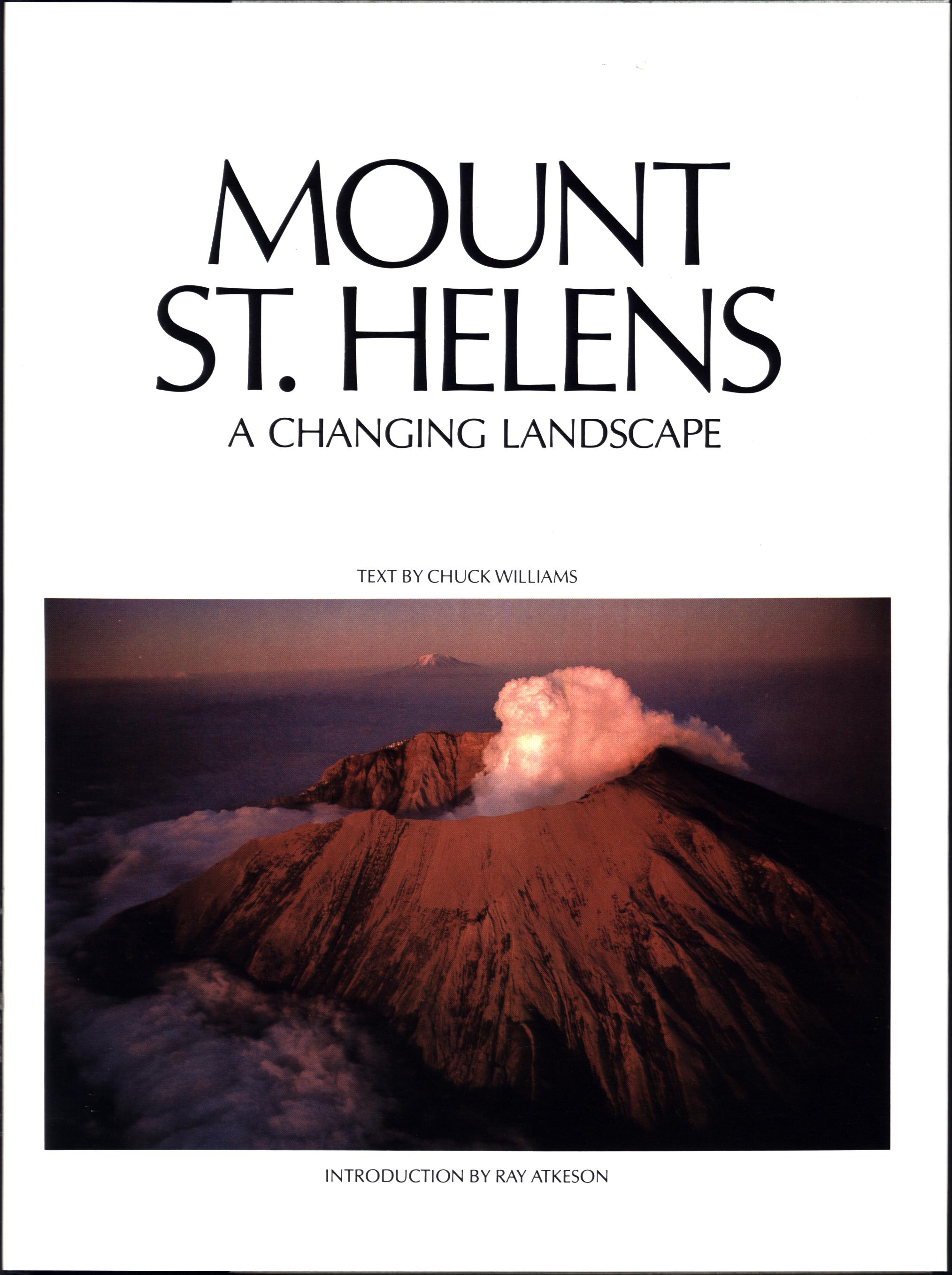 MOUNT ST. HELENS: a changing landscape. by Chuck Williams.
Presents views by 19th century painters
and 34 photographers from the turn of the century to now, providing an inclusive
visual record of this active volcanic mountain. Includes eruption of 1980 from first eruption pictures through ashfall, later explosions and landslides plus after-effects. 125 photos (85 in color), map, bibliography, 128 super-large pages. See sample pages, illustrations.
Inventory = 0. ISBN: 0-912856-63-7. 1980. Order #: GRAR4927 cloth with dust cover in protective box$29.50. SOLD 8/25
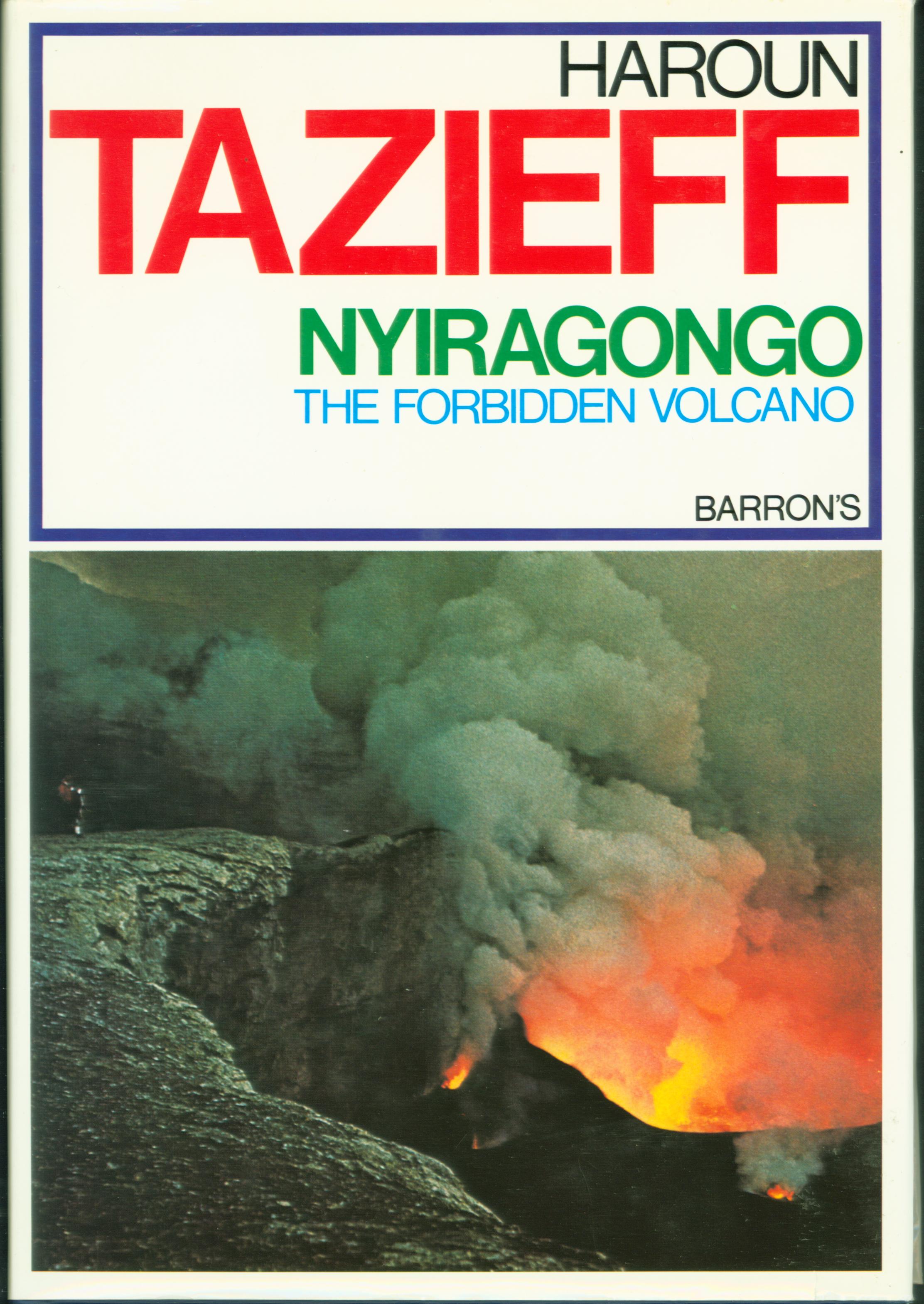 NYIRAGONGO: the forbidden volcano. by Haroun Tazieff.
Story of exploring this active volcano in east
central Africa. Explains the techniques by which descent was made to the molten lava lake
and observations made there as the lava surged, then skinned as it cooled--instruments used to collect samples, clothing and gear selected for rough terrain, gas, and heat.. Color photos,
287 pages.
Inventory = 4. ISBN: 0-8196-5296-X. 1979. Order #: BARR3947 cloth$12.95.
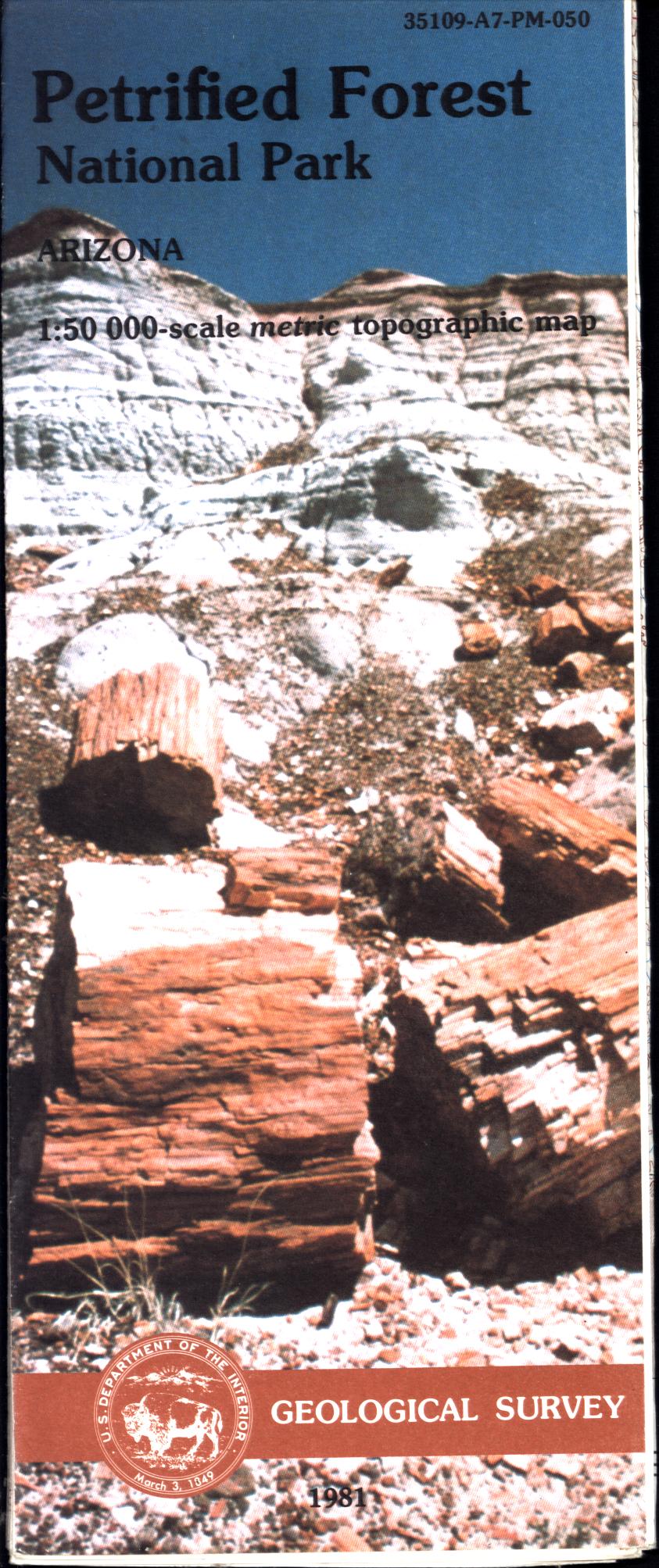 PETRIFIED FOREST NATIONAL PARK topographic map (AZ). US Geological Survey.
Arizona. Scale 1:50,000; contour interval 10 meters (approximately 33 feet). Map is 46" x 40". Shows park roads, terrain, vegetation, feature locations, Indian ruins. Shipped folded.
Inventory = 1. ISBN: 35109-A7-PM-050. 1981. Order #: USGS8824 map$9.00.
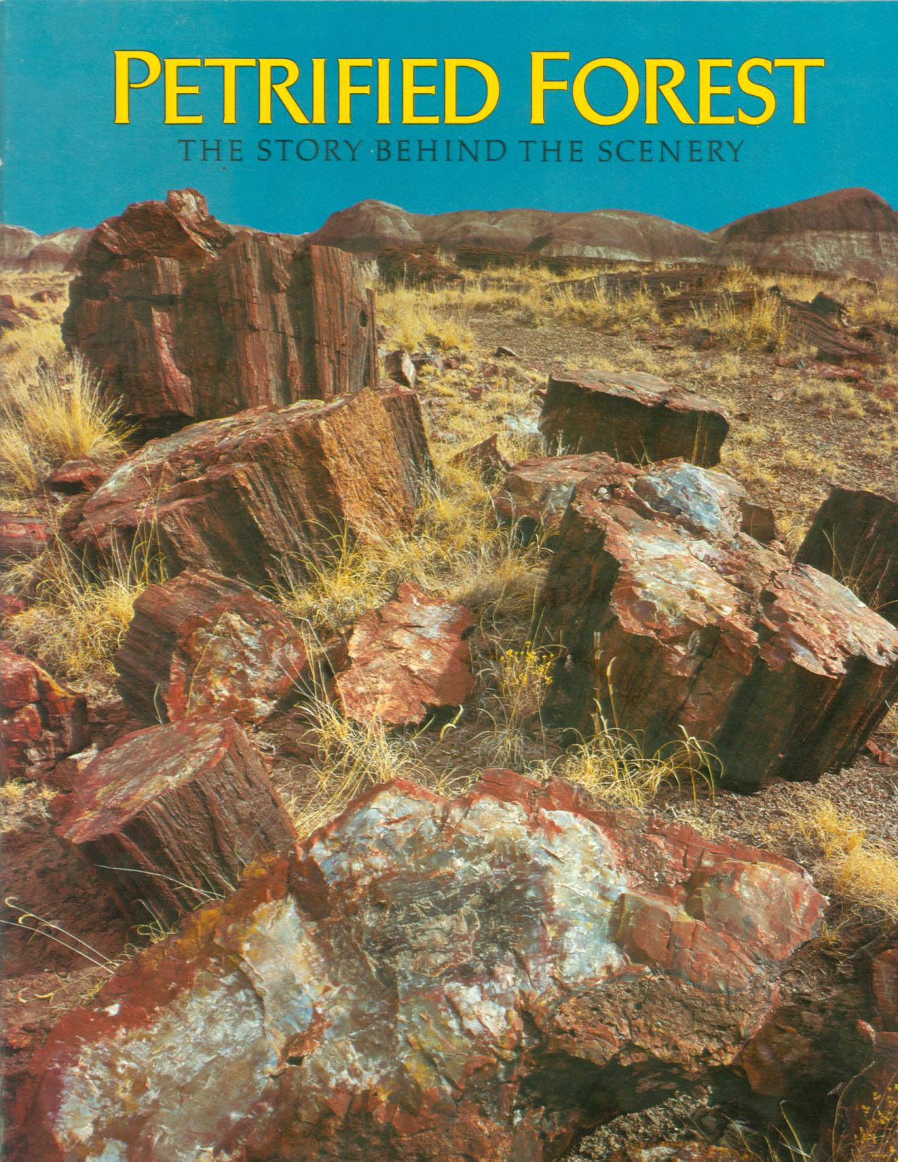 PETRIFIED FOREST: the story behind the scenery (AZ). Ash & May.
Stone trees of ancient forest, now opalized; wildlife, Indian ruins. 33 color photos, 32 large-format pages.
1981.
Inventory = 90. ISBN: None. Order #: PEFO1086 paper$4.95.
 PETRIFIED FOREST: the story behind the scenery (AZ). Ash.
Explains origins of stone
logs, limbs, roots scattered in whole sections or pieces across this desert
landscape, plus animal fossils of the region. 48 large-format pages, color
illustrations.
Inventory = 1. ISBN: None.
1990. Ninth printing. Order #: KCPU4867 paper$8.95.
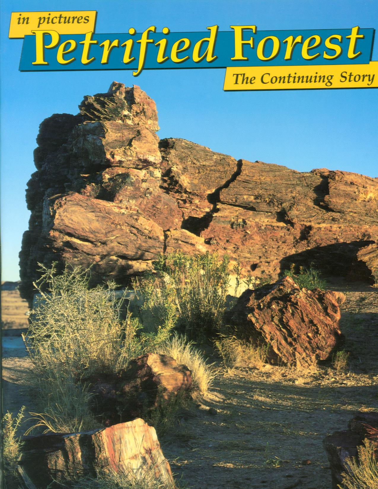 PETRIFIED FOREST IN PICTURES: the continuing story (AZ). Bowmans.
Extended captions
explain the unusual opalized fossil logs of this desert national park; includes
animal fossils also discovered here and ancient Indian sites plus desert plants
and animals. 48 large-format pages, color illustrations.
Inventory = 1. ISBN: 0-88714-056-4. 1991. First printing. Order #: KCPU4873 paper$8.95.
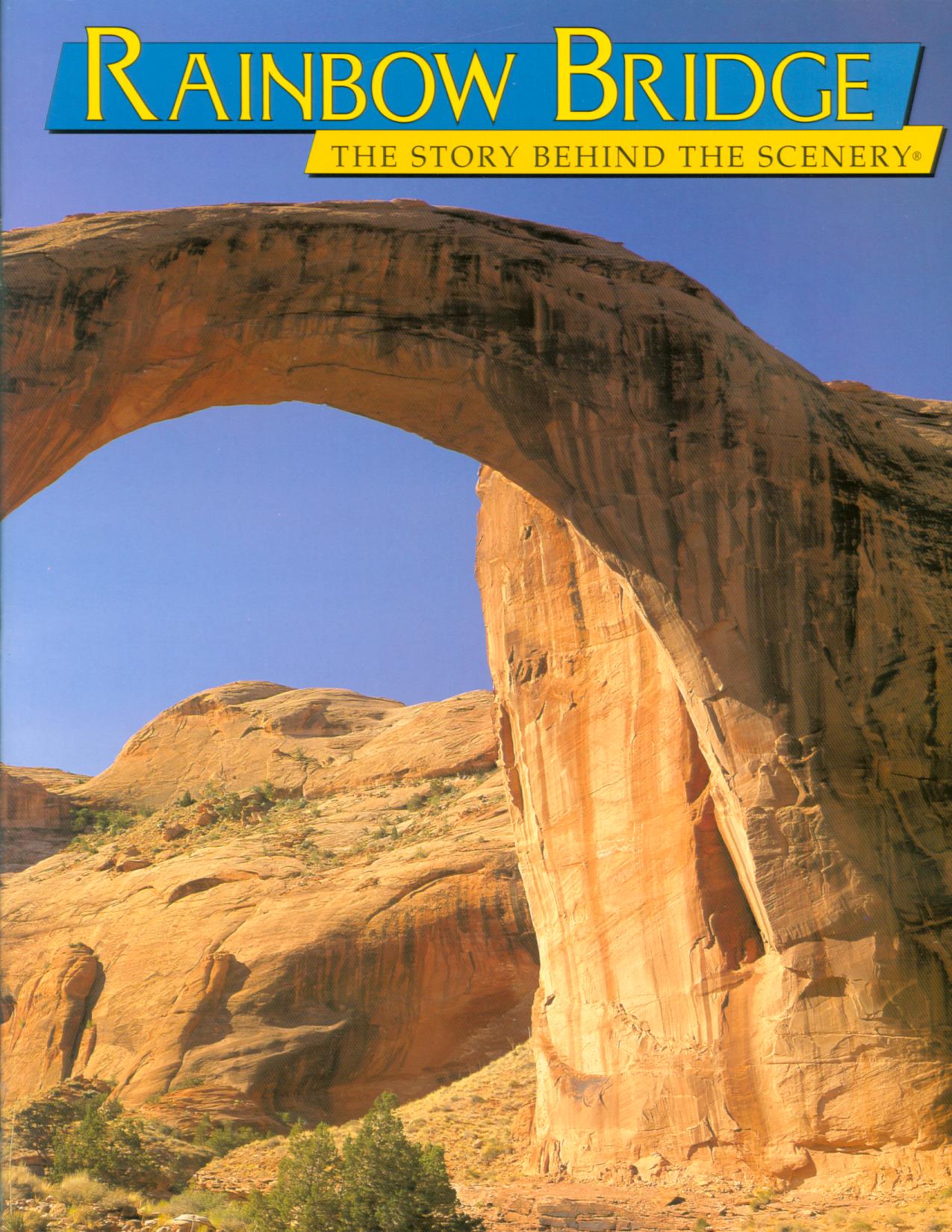 RAINBOW BRIDGE: the story behind the scenery (UT). by Gary Ladd.
The largest natural rock span on Earth, Rainbow
Bridge almost seems lost in a chaos of slickrock
canyons, cliffs, pinnacles, cracks, and domes. See
its beauty in all four seasons. 9x12, 48 pages, 65 color photos, 2 maps/diagrams.
Inventory = 1. ISBN: 0-88714-136-6. 1998. Order #: KCPU8049 paper$11.95.
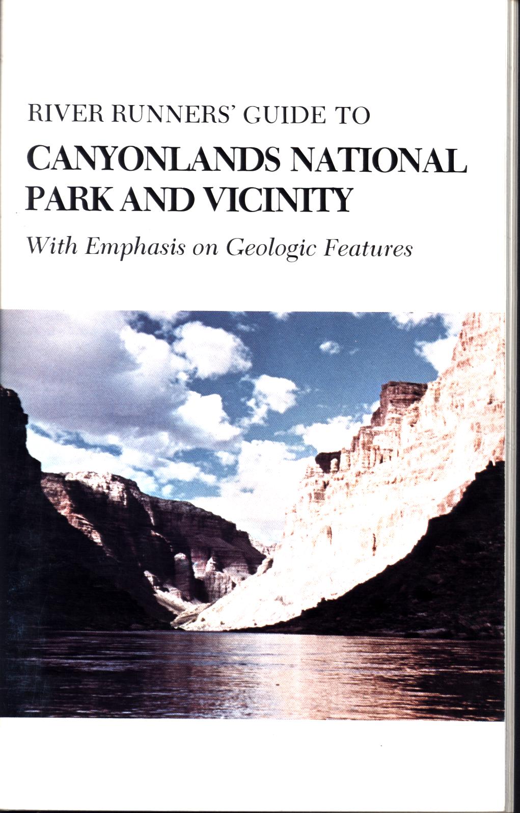 RIVER RUNNER'S GUIDE TO CANYONLANDS NATIONAL PARK & VICINITY: with emphasis on geologic features. by Felix E. Mutschler.
Mileage logs--with emphasis on geology: Green River from Green River, Utah, to confluence of Green and Colorado Rivers; from above confluence to Hite, Utah; from Moab, Utah, to the confluence of the Colorado and Green Rivers. River guide with explanation of rock types, ages, and characteristics. Charts of geologic formations with geologic eras and ages. Glossary, references, photographs, river maps, 99 pages.
Inventory = 2. ISBN: None. No date. Order #: POSO1165 paper$4.95.
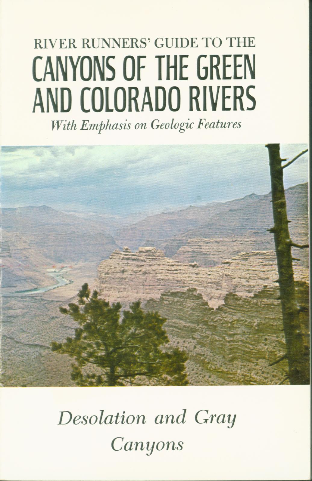 RIVER RUNNER'S GUIDE TO THE CANYONS OF THE GREEN AND COLORADO RIVERS--Desolation and Gray Canyons. by Felix E. Mutschler.
Volume IV of a series by the Powell Society.
Emphasis is on geologic features, with explanations of river meanders and re-channeling, geologic formations encountered, uplifts and swells in the region, geologic time chart. Mileage log of geologic features. Photos, maps, diagrams, 85 pages, glossary, references.
Inventory = 2. ISBN: None. Contents intact but extra pages bound in back, 2 pages with slight damage. Order #: POSO1166 paper$4.00.
 ROAD GUIDE TO CRATER LAKE NATIONAL PARK (OR). by Robert and Barbara Decker.
Park story of this national park in Oregon as seen along roadsides: lava flows, wildflowers and trees, scenic points and overlooks, trailheads. Includes origin of lake, features in the crater, nature of the blue water, wildlife species, aspects of the lower slopes outside the crater. Color
photos, drawings, peak identifiers, maps, 48 pages.
Inventory = 7. ISBN: None. 1988. Order #: DODE3109 paper$4.95.
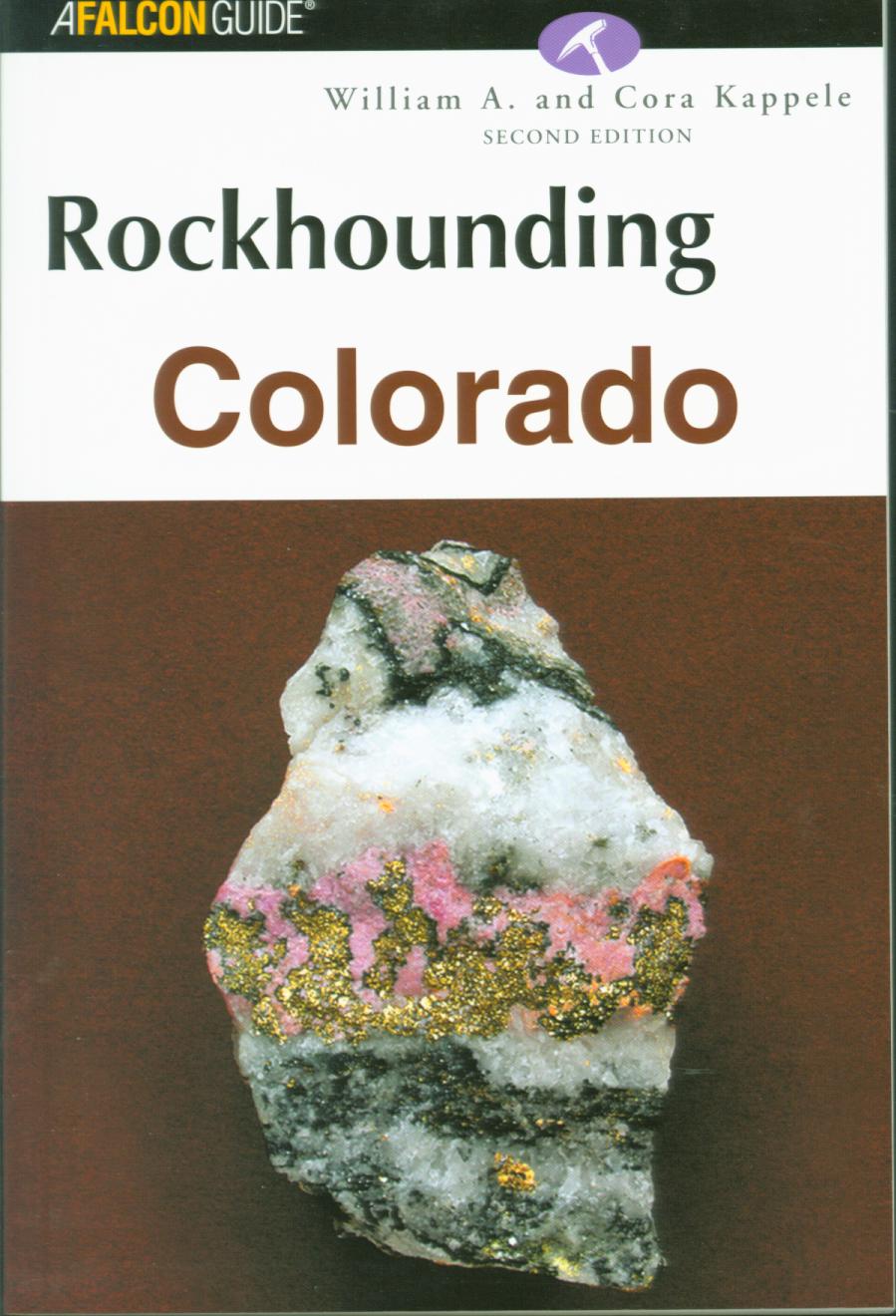 ROCKHOUNDING COLORADO.
Inventory = 1. ISBN: 978-17627-2850-3. Order #: GLPE3795 paper$19.95.
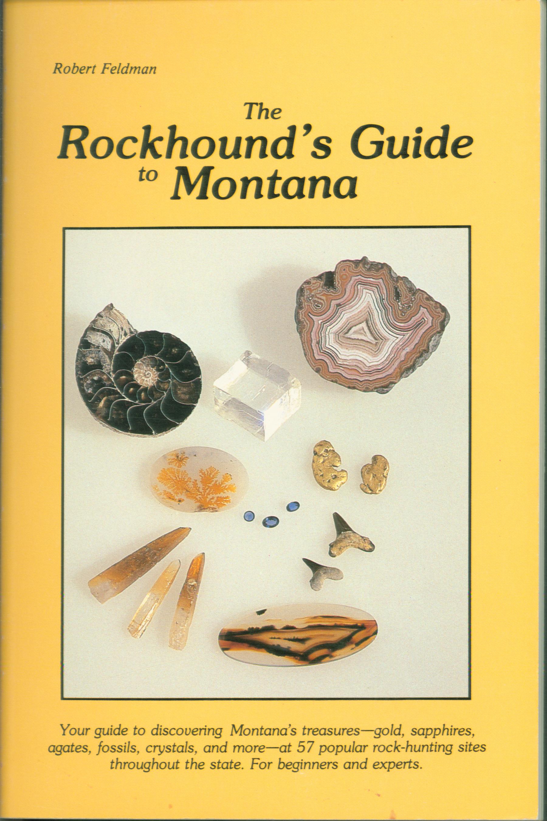 THE ROCKHOUND'S GUIDE TO MONTANA. by Robert Ferldman.
Covers 57 popular and commercial rockhound sites as well as little-known areas, many on public land. Gives directions with maps to sites and museums, rock shops, and rock clubs. Discover where even beginning rockhounders can find gold, sapphires, agates,crystals, fossils, garnets, geodes, fossilized woods. And there are mountain streams for gold panning---dozens of fossil sites throughout the state.
Localities covered include fossils near Miles City,"diamonds"north of Lewiston, Billings Area, Big Horn Canyon, Cooke City, Gallatin Petrified Forest, Helen Area Sapphire mines, Virginia City, quartz crystals near LoLo Hot Springs. Maps, photographs, glossary, 156 pages.
Inventory = 1. ISBN: 0-934318-46-8. 1985. Order#: FALC1079 paper$12.95.
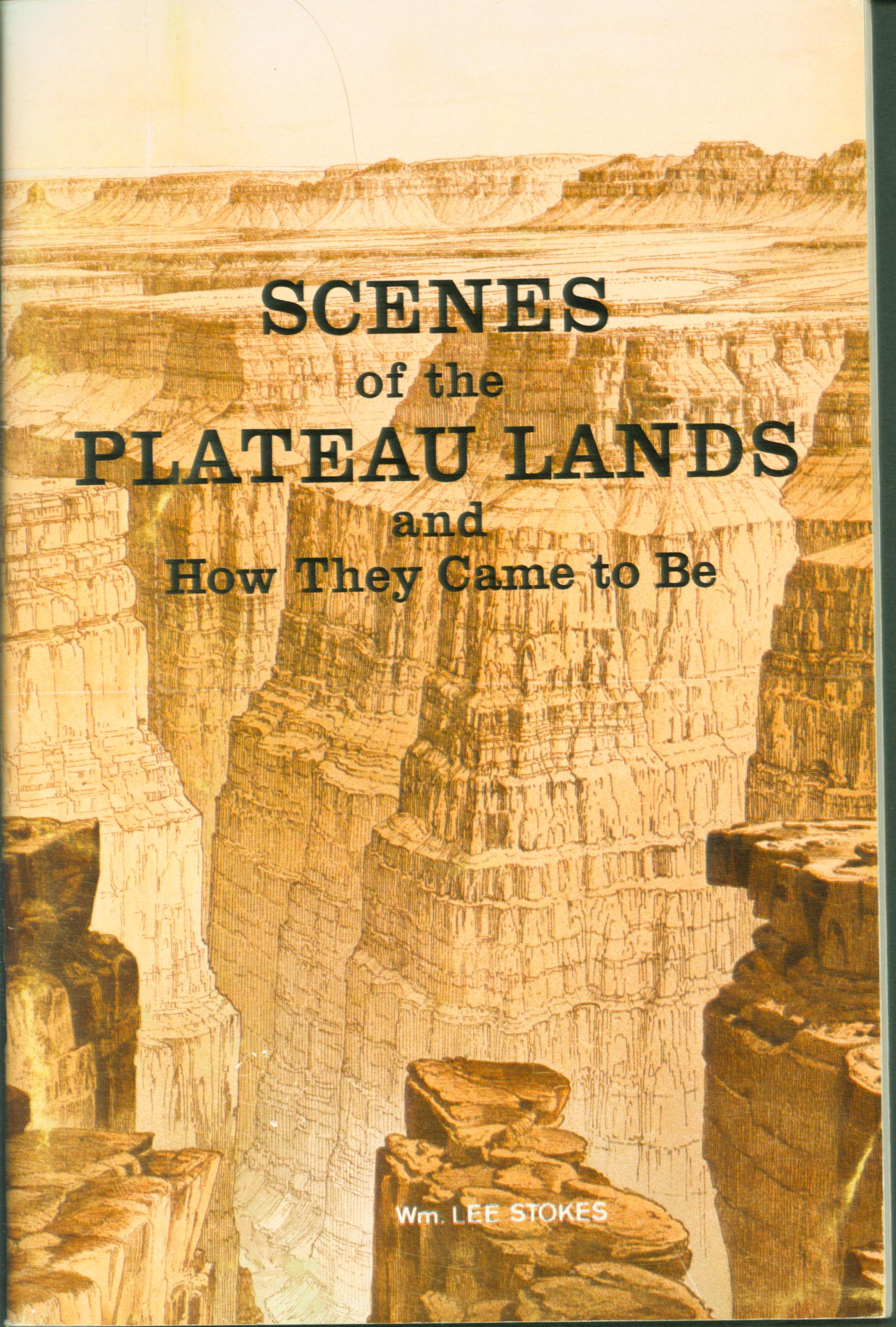 SCENES OF THE PLATEAU LANDS and how they came to be. by Wm. Lee Stokes.
Geologic origin of rock formations
in the Four Corners country of Utah, Colorado, Arizona, and New Mexico. The scenery of this region is unusual, perhaps even unique in the world, and although the processes that formed the landscape are the same forces of wind and rain for erosion and gentler slopes for deposition, because of nature of the rocks and the weather here special forms have been created. Author explains natural bridges, spires, fossilized dinosaurs, slot canyons, table mesas, and more.. Sketches, 74 pages.
Inventory = 2. ISBN: None. 1980. Order #: STST1906 paper$3.95.
![]() SPOTTER'S GUIDE TO ROCKS & MINERALS. by Alan Woolley.
SPOTTER'S GUIDE TO ROCKS & MINERALS. by Alan Woolley.
Identifies 85 different rocks and minerals describing their appearance, colors, origins, occurrences, associated types. Also includes common uses, forms, collecting, fossils, crystal patterns, cleavages, and more. Drawings and color photographs, 64 pages, index.
Inventory =1. ISBN: 0-8317-7426-6. 1979. MISC2388 paper$4.95.
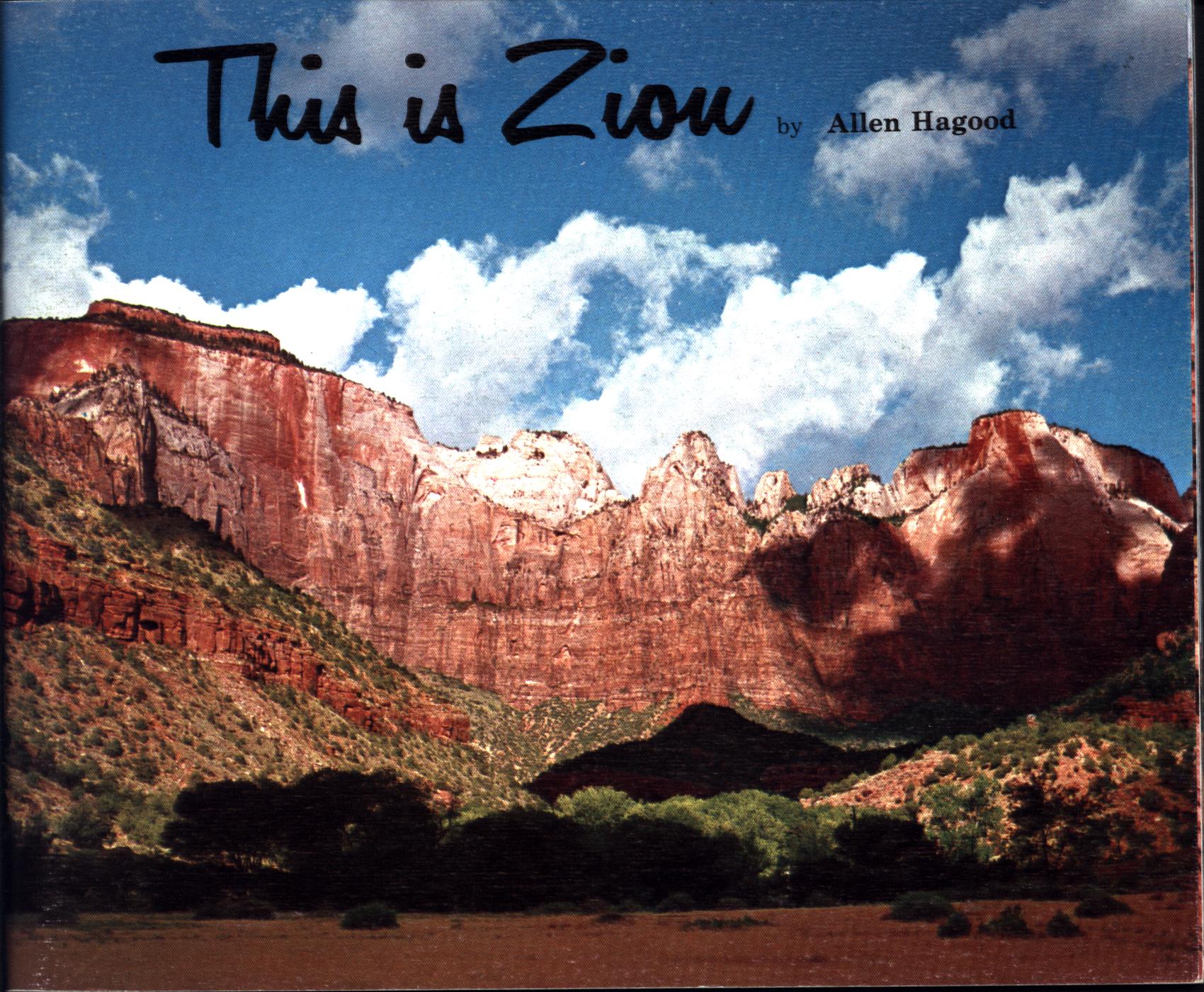 THIS IS ZION (UT). by Allen Hagood.
An interpretation of a colorful landscape in picture and story--geology
and the erosion cycle. Presents a pictorial approach to the park's geological story--a theme of beauty in stone with much information on the origin of Zion landscapes. Zion's rocks in its cliffs and canyons were originally sand dunes, which were buried deeply, hardened, uplifted, then eroded into their present form, their sand grains once again released heading down the Virgin River to perhaps repeat the cycle. Color and black-and-white photographs, 74 pages.
Inventory = 3. ISBN: 0-915630-06-0. 1969. Order #: ZION1879 paper$6.95.
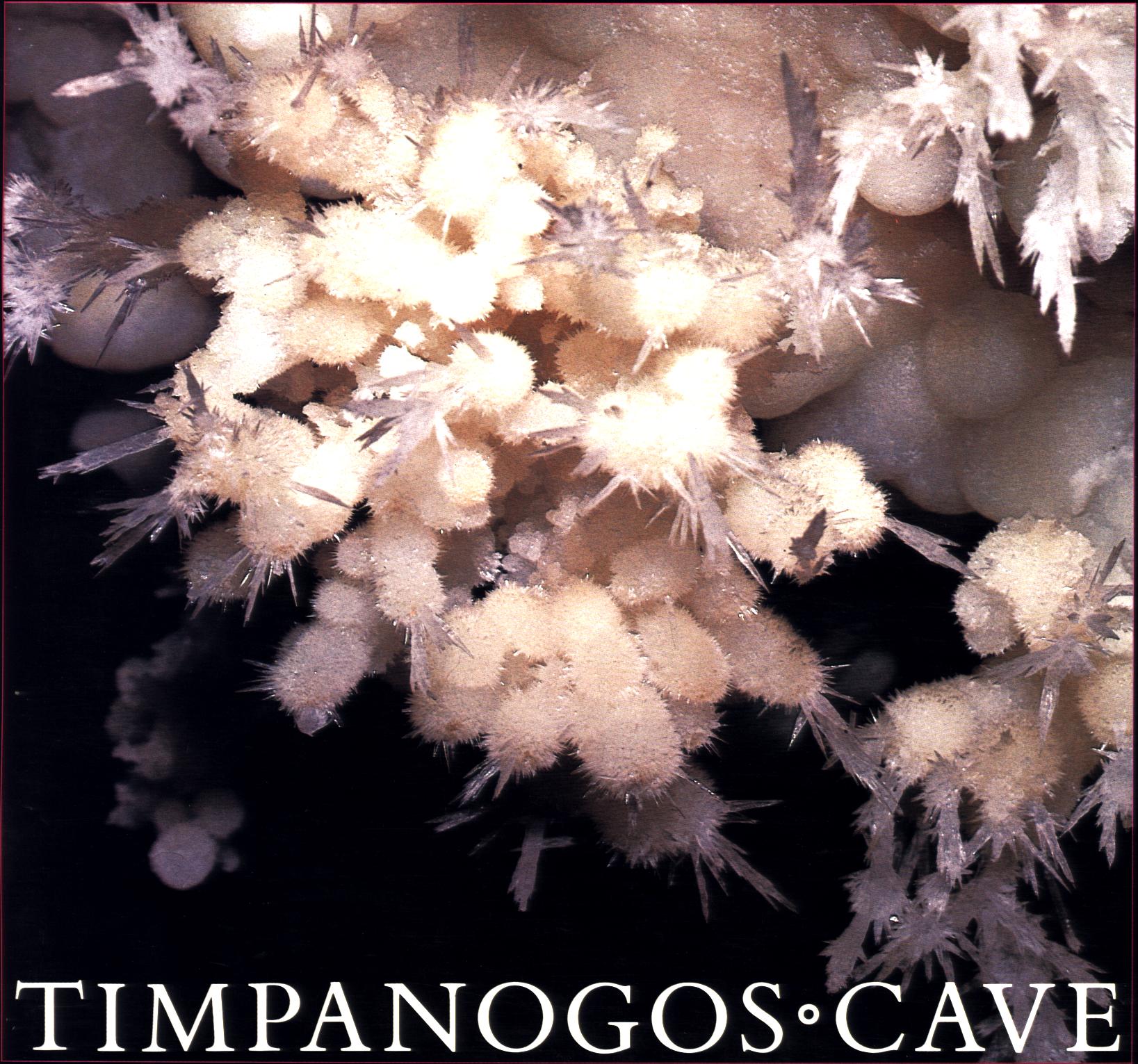 TIMPANOGOS CAVE: window into the Earth (UT). by Stephen Trimble.
Utah national monument--natural and human
history of this cave in the Wasatch Mountains. Begins with geologic setting in Mount Timpanogos, explores the cave itself, its dripstone formations and how they were formed and their various minerals, cave life living without light, how the cave was discovered and developed for use, plus life in the adjacent canyons and valleys and the regional story. 28 color photos, 48 pages, map.
Inventory = 2. ISBN: 0-911408-64-9. 1983. Order #: SOPM1323 paper$6.95.
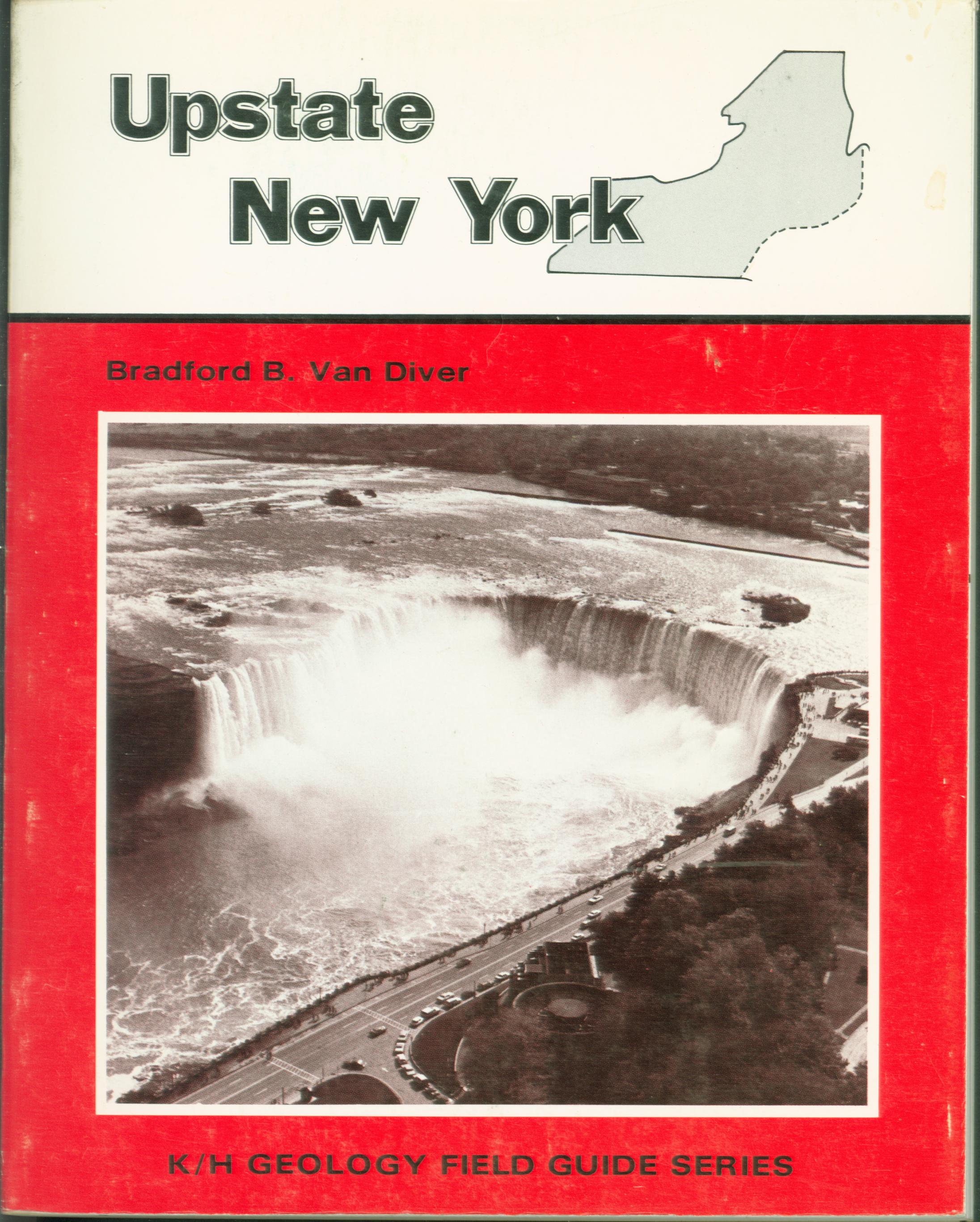 UPSTATE NEW YORK: Field Guide. by Bradford B. Van Diver.
Geologic features of ancient bedrock, granites of the region, Horseshoe Falls (largest of the Niagara Falls system), the Great Lakes, glacial features seen along the road
at quarries, overlooks, parks as part of several field guide trips by road that take you onto the scenes of the region. Includes geologic time chart. Maps, photos, 286 pages, index.
Inventory = 2. ISBN: 0-8403-2214-3. 1980. Wrinkled cover. Order #: KEHU0748 paper$17.95.
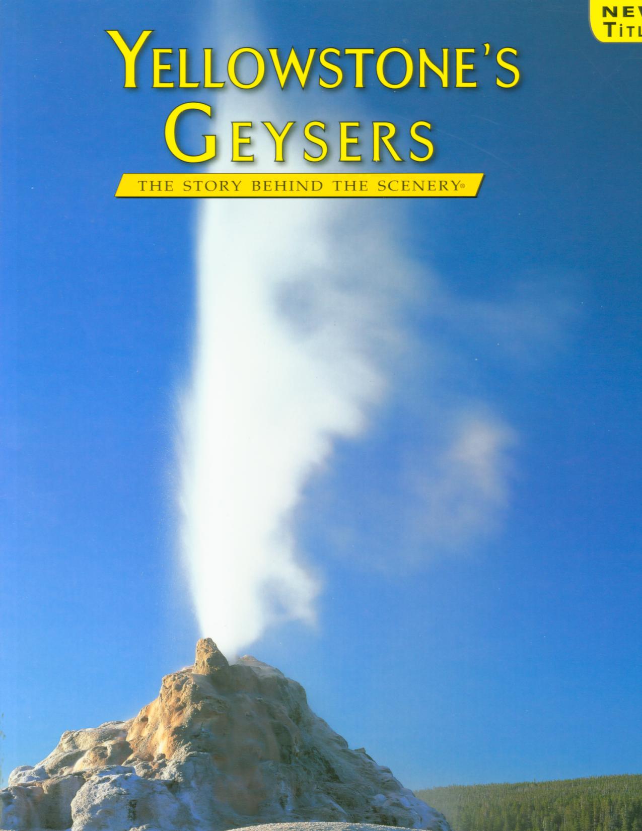 YELLOWSTONE'S GEYSERS: the story behind the scenery (MT/WY/ID). by Duncan Foley.
Ancient rainfall and snowmelt seep into the earth, where the waters are
heated by residual magma in a supervolcano. The waters then rise to form
more than 10,000 thermal features, including hot springs, mud pots,
fumaroles and the world's greatest concentration of geysers.
In 1883 Henry J. Winser described " The Park is a region of wonder,
terror and delight. Nature puts forth all her powers, and her moods are
ever changing from "grave to gay, from lively to severe." "Here tremendous
geysers shoot up their mighty fountains, causing the earth to groan and
tremble by their violence; countless hot springs, indescribable in their
strange beauty, show depths as translucent as the ambient air; pools of
seething mud, casting up jets of colored paste, bewilder by their curious
activity." 48 pages, 68 color photos,
large-format.
Inventory = 1. ISBN: 978-0-88714-264-2. 2011. Third printing. Order #: KCPU6841 paper$11.95.
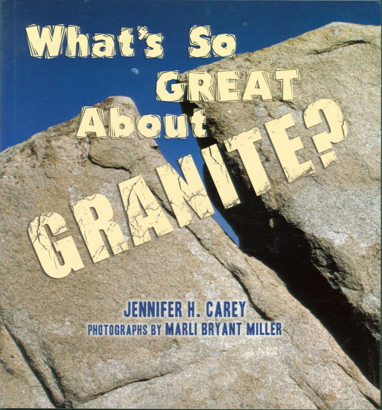 WHAT'S SO GREAT ABOUT GRANITE? by Jennifer H. Carey.
For young adults and general
readers. How granite forms from cooling magma, its various types and compositions of varying minerals, how it cracks, exfoliates, and erodes.104 pages, with color photos and drawings,
Inventory = 1. ISBN:978-0-87842-563-1 . Order #: MOPR1729 paper$18.00.
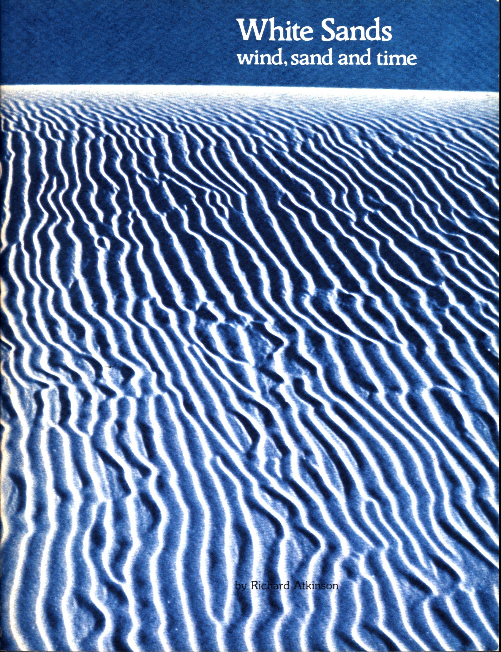 WHITE SANDS: wind, sand, and time (NM). by Richard Atkinson.
Natural and human history of White Sands National
Monument, New Mexico, an area of unusual sand dunes made from blowing crystals of the mineral gypsum and not from quartz grains as is more usual throughout the world. Explains how the gypsum originated and became wind-blown to pile on the desert floor, and tells of how the dunes are formed, with 3 main types and some unusual patterns. Tells how the dunes advance across the desert, making places for plants and then burying them and of the animal life that lives in the harsh environment. Concludes with the human story of Native Americans, ranching, and U.S. Army cavalry, recreational use today, and nearby sites to visit. 13 color photos, 44 large-format pages.
Inventory = 1. ISBN: 0911408-46-0. 1987. Order #: SOPM1306 paper$4.95.
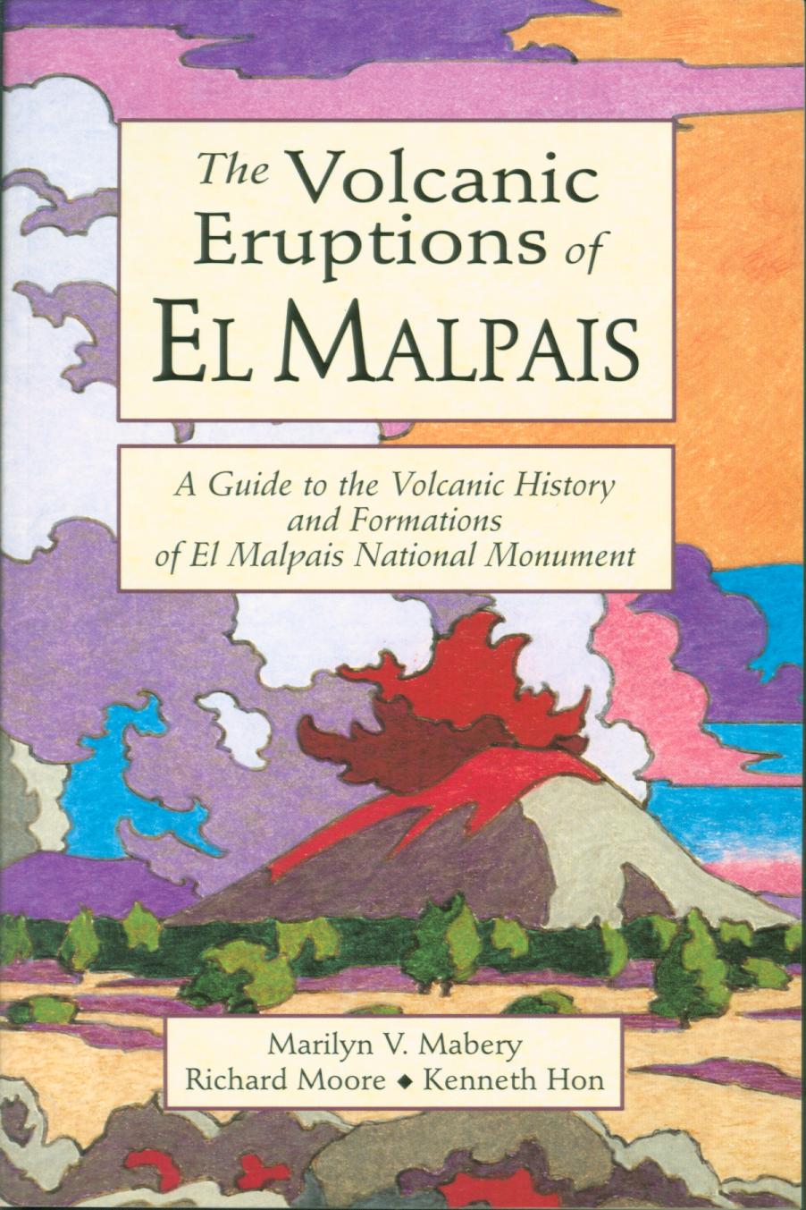 THE VOLCANIC ERUPTIONS OF EL MALPAIS: a guide to the volcanic history and formations of
El Malpais National Monument (NM). by Mayberry, Moore, and Hon.
Authors from U.S Geological Survey describe activity of nearly 100 eruptions of major craters, when lava tubes, cinder cones, and lava flows spewed onto the landscape times in times that predated Native Americans. This is a visitor's guide, hiking guide, and geological guide to exploring these features within this western New Mexico national park area. Maps, diagrams, color illustrations, index, 93 pages.
Inventory = 1. ISBN: 978-1-58096-00-7. 1999. Ancient City Press. Order #: GISM1867 paper$11.95.
Roadside Geology state series--Mountain Press
 ROADSIDE GEOLOGY OF ARIZONA. by Halka Chronic.
Explanation of geologic and landscape
history of AZ. Roadside Geology of Arizona "made
sense of the landscape out the car window from the rise of
mountains to the spread of deserts." —Arizona Daily Star. The rise of mountains and the spread of deserts has marked
the geologic history of Arizona. Landscapes that we see
today are here because of landscapes of the past, and
because of tremendous forces deep within the earth, forces
that carry continents into collisions and then drag them
apart again, forces of heat and pressure and the slow
churning boil of the earth's interior. Landscape features
result, too, from more comprehensible, more recent forces:
the unending attack of water and wind and frost, the
building of volcanoes, and the short-term geologic
happenings like landslides and rockfalls, earthquakes and
floods, and a gopher digging a hole.
Illustrated, 335 pages.
Inventory = 3. ISBN: 978-0-87842-147-3. Order #: MOPR0835 paper$20.00.
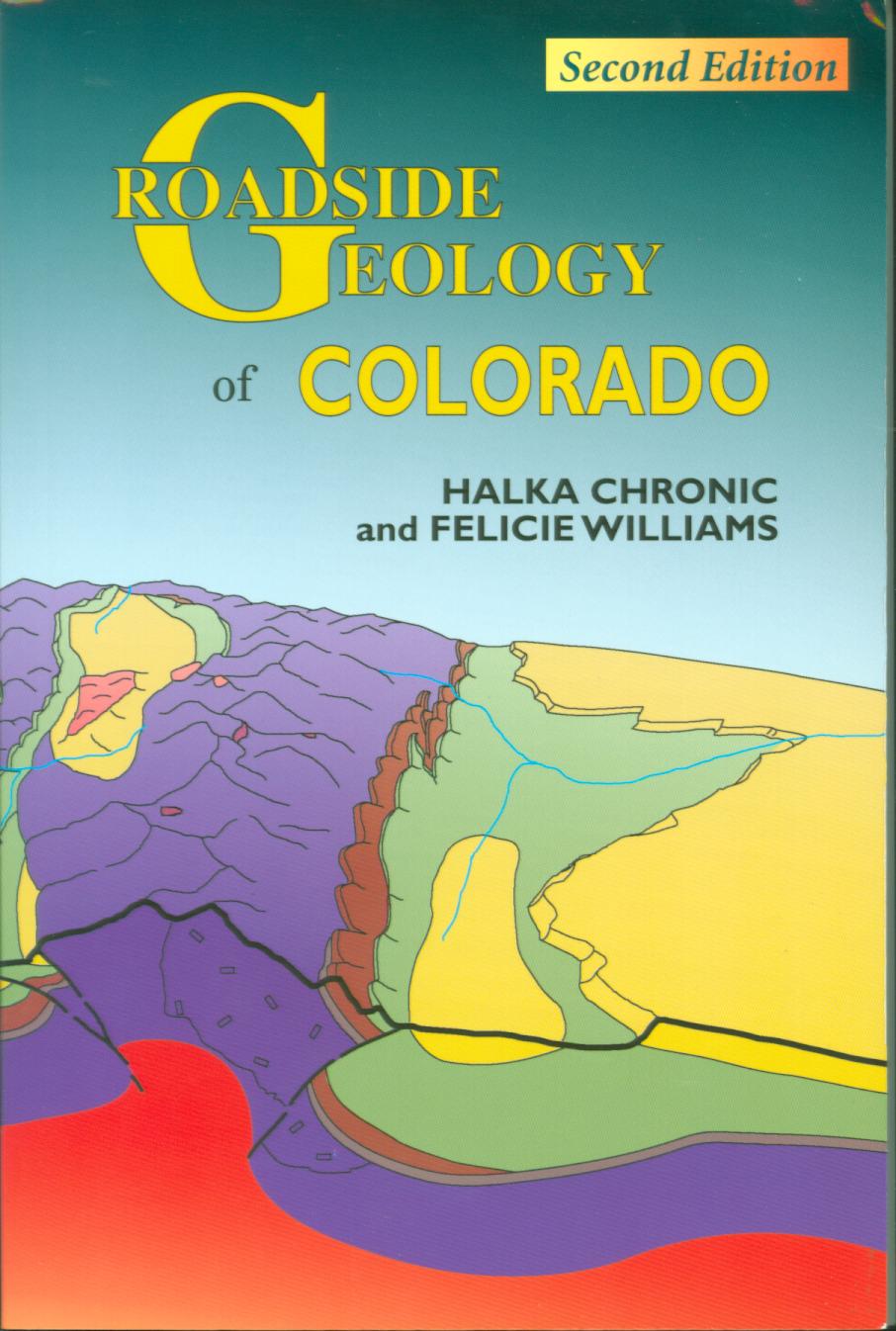 ROADSIDE GEOLOGY OF COLORADO. by Halka Chronic & Felicie Williams.
Nontechnical guide introduces the history of Colorado;s mountains, plateaus, and plains plus fossils, rocks, and time formations. Tours Black Canyon of the Gunnison, Rocky Mountain National Park, Dinosaur National Monument, Great Sand Dunes, Mesa Verde, and Florissant Fossil Beds. 412 pages, maps, drawings, charts, photos.
Inventory = 4. ISBN: 0-87842-447-4. 2nd edition. Order #: MOPR9033 paper$20.00.
 ROADSIDE GEOLOGY OF HAWAII. Richard Hazlett & Donald Hyndman.
There is no question that
Roadside Geology of
Hawaii is the best general geologic roadguide available
in printed form and is a real bargain at $20."
—Environmental & Engineering Geoscience. Roadside Geology of Hawaii details the evolution of
this volcanic island chain, from the origin of a hot spot
and the tumultuous creation of each island to ongoing
eruptions and the gradual death and erosion of old
volcanoes. Residents and tourists alike will soon become
experts on lava tubes and lava flows, ancient beaches and
coral reefs, ephemeral black sand beaches and the occasional
tsunami. Includes a chapter each on six easily accessible
and populated islands: Hawaii , Maui, Lanai, Molokai,
Oahu, and Kauai. Each chapter begins with a general
discussion of the rocks of that island, then proceeds with a
series of road guides that provide the local details. 317
pages.
Inventory = 1. ISBN: 978-0-87842-344-6. Order #: MOPR9034 paper$20.00.
 ROADSIDE GEOLOGY OF MONTANA. David Alt
& Donald Hyndman.
"Designed for reading at 55 mph on roads which have
undergone some geological changes of their own, and
liberally sprinkled with diagrams, maps and black-and-white
photographs." —Missoulian. Montana's geologic history includes a long succession of
disturbances that changed the rocks, then changed many of
them again. Unraveling these events reveals a geologically
quiet continent that got scrambled in a long and grinding
collision with the Pacific crustal plate. Through detailed
geologic maps and lively text, Roadside Geology of
Montana deciphers the complicated rock record and
uncovers each layer of Big Sky Country. Illustrated, 435
pages.
Inventory = 1. ISBN: 0-87842-202-1. Out of print. Order #: MOPR9041 paper$20.00.
ROADSIDE GEOLOGY OF
NORTHERN & CENTRAL CALIFORNIA. David D. Alt & Donald W. Hyndman.
Twenty-five years after writing
the groundbreaking Roadside Geology of Northern
California, David Alt and Donald W. Hyndman have written
an entirely new book--with expanded coverage, new photos and
maps, and the latest interpretations of California's
turbulent rocks. Geologic road guides include tours of Lake
Tahoe, Yosemite National Park, Lassen Volcanic National
Park, Lava Beds National Monument, Kings Canyon National
Park, Point Reyes National Seashore, and the San Francisco
Bay area. Learn about earthquake prediction, gold mining,
pillow basalts, cinder cones, and more with this book as
your guide. Illustrated, 384 pages.
Inventory = 1. ISBN: 0-87842-370-6. Order #: MOPR9043 paper$20.00. Note ISBN; CHECKSTOCK; SEE 409-2
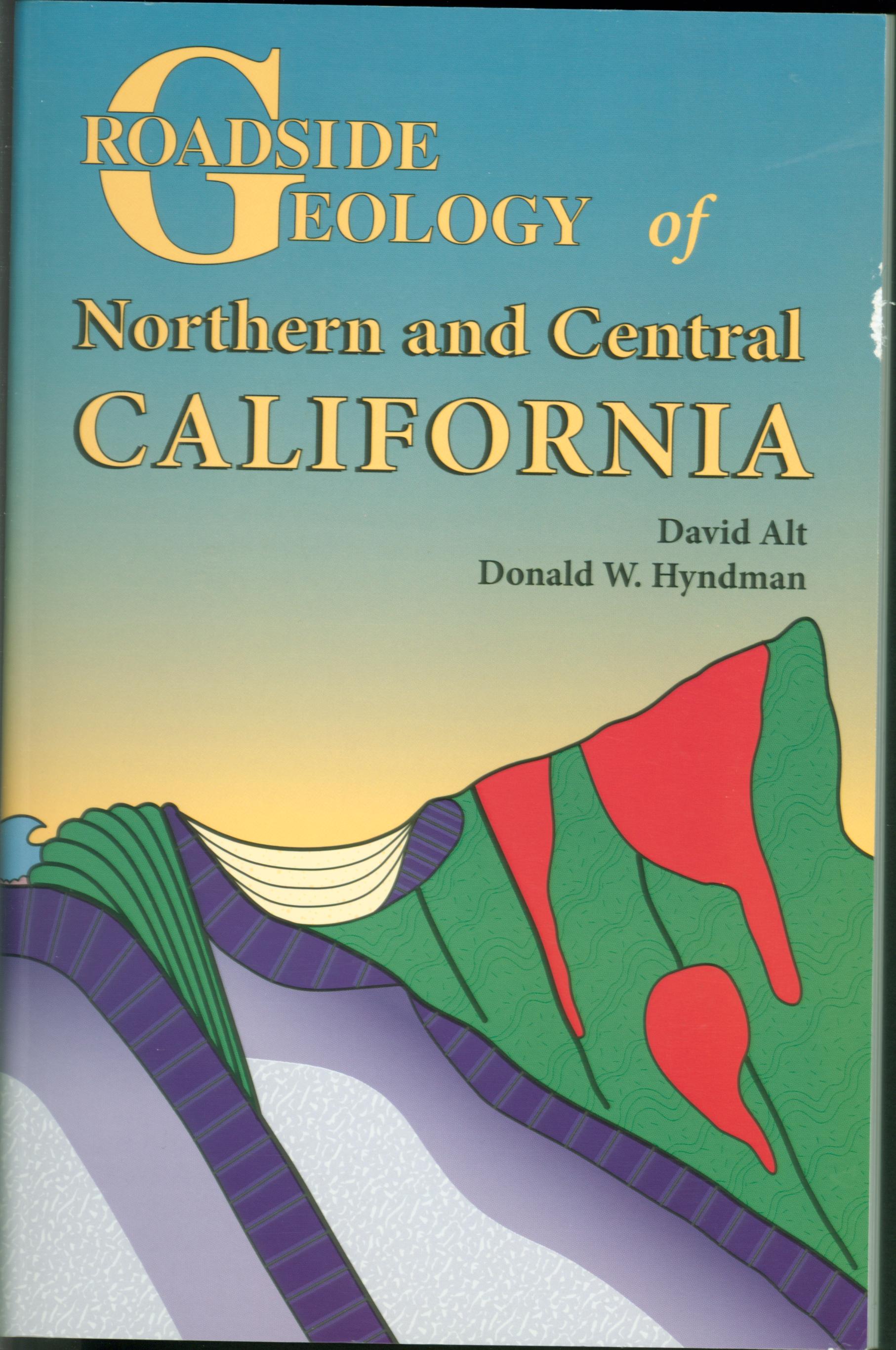 ROADSIDE GEOLOGY OF NORTHERN and CENTRAL CALIFORNIA. by David D. Alt & Donald W. Hyndman.
Nontechnical guide to the latest interpretations of California's turbulent rocks. Geology as viewed along roads through Mother Lode, Lake Tahoe, Redwood
country, Point Reyes, San Francisco Bay Area, Great Valley, Lassen, Lava Beds, Shasta, Lake Tahoe, Yosemite, Kings Canyon, Sierra Nevada. Learn about the past of the sites you see and how they came to be, about earthquake prediction, gold mining,
pillow basalts, cinder cones, and more with this book as
your guide.
Illustrated with geologic cross-sections and photographs, 282 pages. Slight defect on cover.
Inventory = 1. ISBN: 0-87842-409-2. Order #: MOPR9043 paper$20.00. Note ISBN--SEE 370-6; CHECKSTOCK.
 ROADSIDE GEOLOGY OF PENNSYLVANIA. Van Diver.
Oceans appear and disappear, colliding
continents crumple sedimentary layers into fold mountains. Ill, 352p.
Inventory = 1. ISBN: 0-87842-2. MOPR3811 paper$20.00. check ISBN.
 ROADSIDE GEOLOGY OF TEXAS. by Darwin Spearing.
Rocks along roads--origin and occurrence of mineral
resources and land features. The book explains in non-technical language how
geologic processes shaped the landscapes we see as we drive
along Texas's primary highways." —Texas Highways. The geologic panorama of Texas is as wide as the state is
big, sweeping from volcanic mesas and thrusting mountains in
the west to the red canyons of the Panhandle, along tropical
sand barriers of the Gulf Coast, and across central
limestone plateaus to the hard granitic terrain of central
Texas. Learn about the rocks as you come to them--what they
are, when they formed, what they mean, and how they fit into
the big picture of the geology of Texas. Illustrated, 432
pages.
Inventory = 1. ISBN: 978-0-87842-265-4. Order #: MOPR0837 paper$24.00
 ROADSIDE GEOLOGY OF VIRGINIA. Keith Frye.
Diverse features: Natural Bridge, caverns,
Paleozoic geologic structures and fossils, ancient beaches.
With Roadside Geology [of Virginia] in your
glove compartment, the dullest drive can be transformed into
time travel." —Richmond News Leader. The geologic features seen in Virginia are as varied as any
in the country. Indeed, in 1985 the highway east of Natural
Bridge was identified as the most geologically interesting
24 kilometers of roadway in the southeastern United States
and one of the four most interesting in the country. In
addition to Natural Bridge, you can see caverns still
developing their unique architecture, geologic structures
developed at the end of the Paleozoic era, fossils of
Paleozoic life, preserved beaches from late Precambrian
shores, and more, all in a single stretch of highway.
Illustrated, 256 pages.
Inventory = 1. ISBN: 0-87842-199-8. Order #: MOPR5615 paper$20.00.
 ROADSIDE GEOLOGY OF THE YELLOWSTONE COUNTRY. William J. Fritz."
"Highly
recommended for anyone with even a passing interest in
geology and in planning a trip to the park." —Wyoming
Library Roundup. The geologic story of the Yellowstone Country begins with
rocks 2.7 billion years old that are mashed remnants of even
older rocks, and continues with processes that shape the
land surface today. Striking evidence lies along the park
roads and highways leading to the north, south, east, and
west entrances to Yellowstone Park. Illustrated, 160 pages.
Inventory = 1. ISBN: 0-87842-170-X. Order #: MOPR9049 paper$12.00.
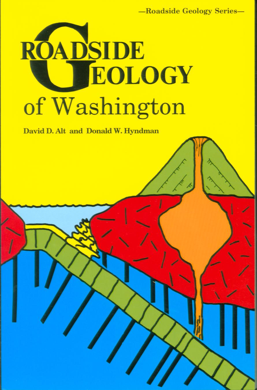 ROADSIDE GEOLOGY OF WASHINGTON. David D. Alt &
Donald W. Hyndman.
State's rock and landforms,
directions on where to see and understand them. "Through the Roadside Geology of Washington...I've started to make sense of...the natural features
of our state...from the vast volcanic flows that formed
the Columbia Plateau...to the 1980 eruption of Mount St.
Helens." —Kristin Jackson, Seattle Times. The geology of Washington is a story of
islands--micro-continents--coming in from the sea. Two
hundred million years ago most of Washington consisted of
two large islands, each one a scrap of continent, lying
somewhere in the vastness of the Pacific Ocean. One after
the other they docked onto the North American continent,
each adding its distinctive bit to the complex geologic and
geographic mosaic of western North America. Illustrated. 320
pages. Maps, photos, 294p.
Inventory = 1. ISBN: 0-87842-160-2. Order #: MOPR2050 paper$20.00.
End of Roadside Geology state series--Mountain Press
END OF "Regional Geology/Road Guides" PAGE--click for TOP
Also see: General Geology/Processes Fossils Ghost Towns/Treasure Gold/Gems
click ![]() for VistaBooks Outlet Home/Contents or use links in sidebars for other pages
for VistaBooks Outlet Home/Contents or use links in sidebars for other pages
This VISTABOOKS OUTLET "Rocks/Fossils/Geology" page last modified August 3, 2025. Did you come here from a link on another website? For latest version of this page, click or copy to your browser: https://www.vistabooksoutlet.com/pages/vbo0roge.html. Copyright © 2025 VistaBooks LLC.
Need help? email. We want you to find what you want to find.
Thanks for looking!