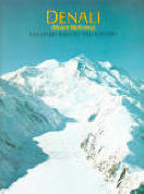
 DENALI: The Story Behind the Scenery (AK). Buskirk.
Glaciers, mountain climbing, wildlife, park
history of Alaska National park. Formerly Mount McKinley. 57 color photos, 48 large-format pages.
1982.
Inventory = 1. ISBN: 0-916122-23-9. 1982. Third printing. Order #: KCPU0723 paper$8.95.
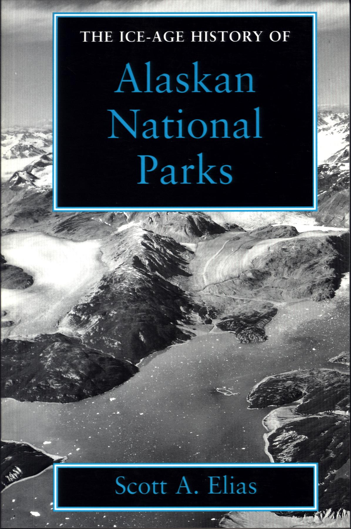 THE ICE-AGE HISTORY OF ALASKAN NATIONAL PARKS. by Scott A. Elias.
Focuses on more than 30,000 years of Alaskan prehistory to describe the geology, climate, ancient plant and animal life, plus human presence in
Denali, Kenai Fjords, Glacier Bay, and Bering Land Bridge national parks and preserves. Uncovers a time when glaciers shaped the landscape, carving cirques and leaving moraines that dammed rivers to form lakes. With fossils from this period, the landscape of the time is recreated, where bogs and steppe tundra harbored caribou, moose, saber-toothed cats, and mammoths. Photographs, drawings, maps, and charts, 160 pages, index.
Inventory = 1. ISBN:1-56098-424-4. 1995. Order #: SMIN2231 paper$17.95.
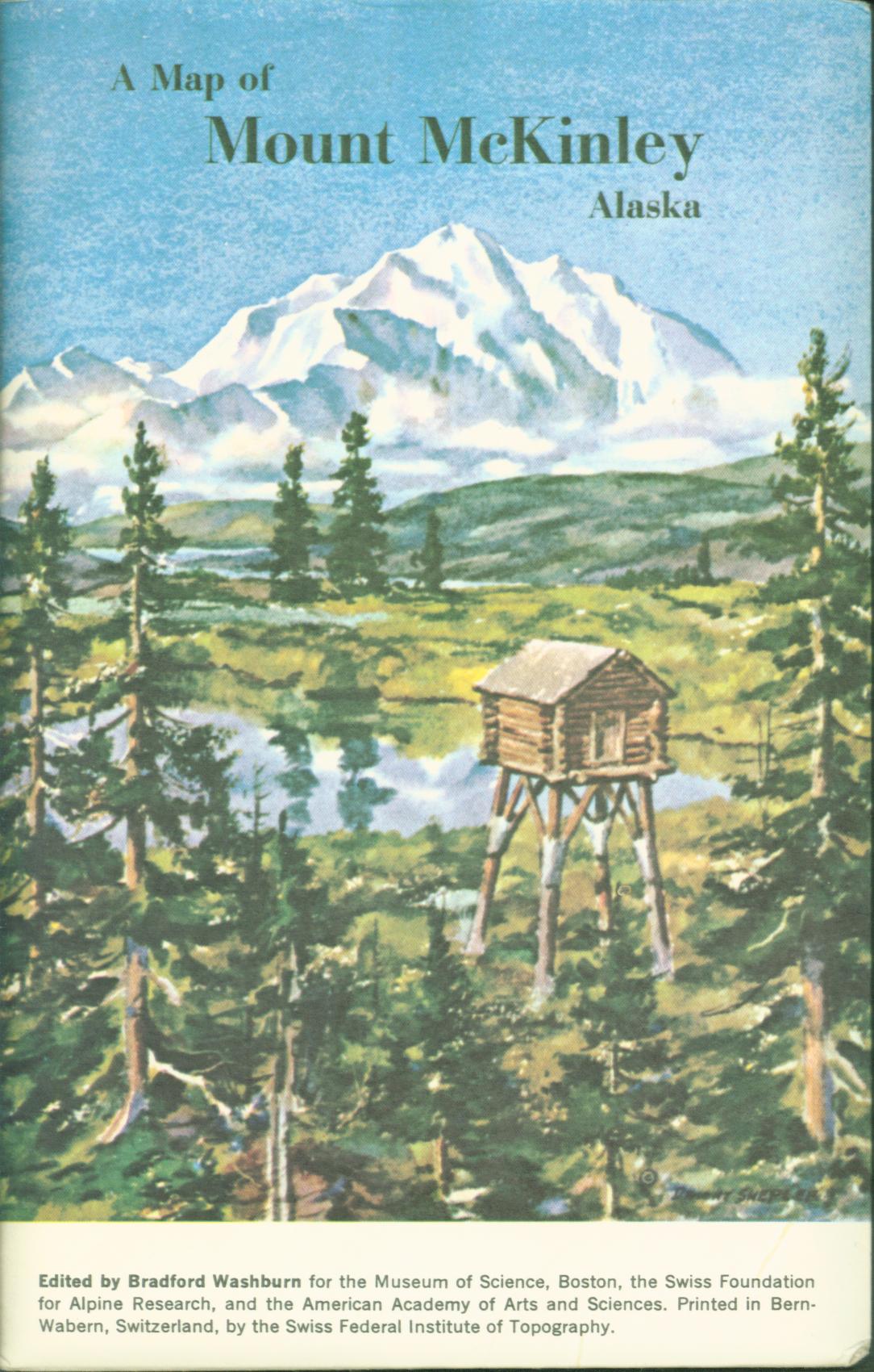 A MAP OF MOUNT MCKINLEY, ALSKA. edited by Bradford Washburn.
Now called Mount Denali, this detail map of America's tallest mountain shows its summit and side peaks, ridges, spurs, cols, and glaciers in colors with crisp contour lines and areas of seracs and icefalls. Cirque and valley glaciers with medial moraine lines are clearly shown. Unfolded, the map is 29" x 31"; it folds to5 1/2" x 8 1/2" and fits in a furnished sleeve. Scale is 1:50000 and the contour interval is 100 feet.
Inventory = 1. ISBN: None. 1980. Order #: MOUN1183 map$12.95.
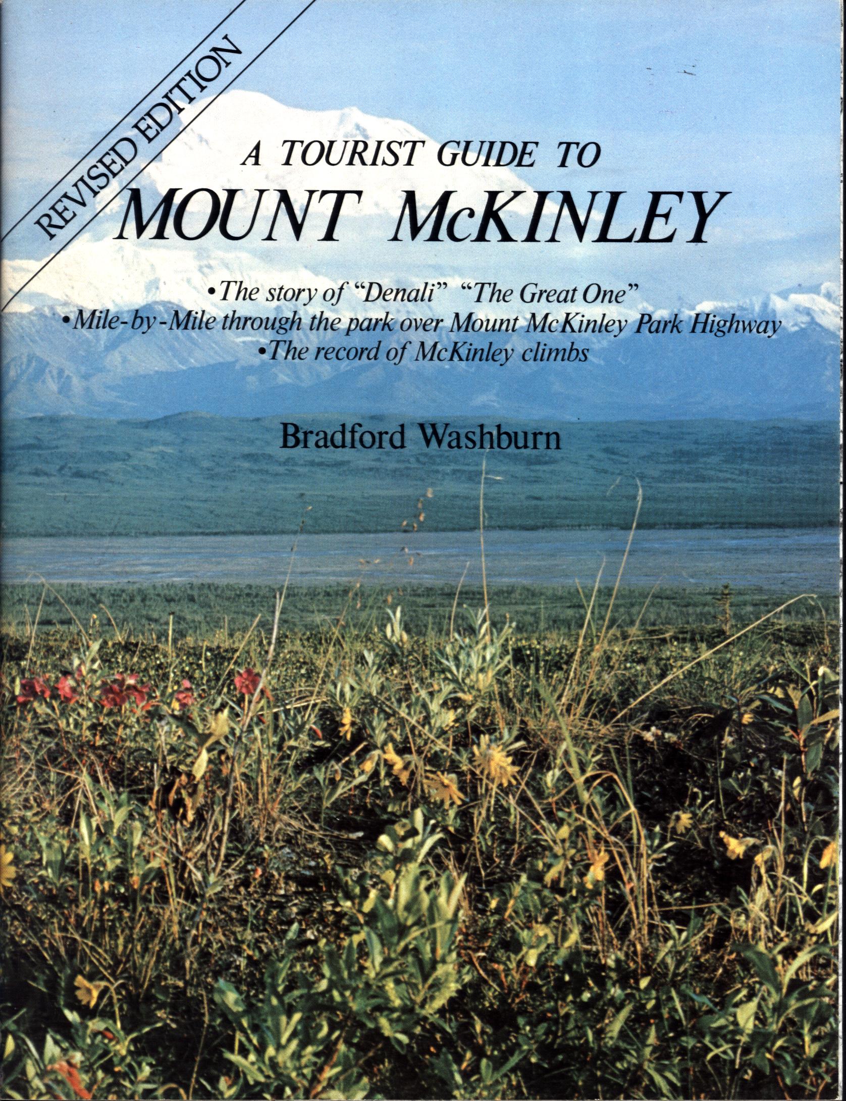 A TOURIST GUIDE
TO MOUNT McKINLEY. by Bradford Washburn.
Mile by mile through Alaska National park
(now Denali)--expedition and climbing records, history, nature. Describes the mountain, the park highway with its flowers and wildlife and scenic views, approach to the mountain from Talkeetna, gives highlights in the history of the mountain and record of successful ascents. Color photos, maps, 80 large-format
pages, bibliography, index.
Inventory =10. ISBN: 0-88240-153-X. 1980. Order #: ALNO6085 paper$5.95.
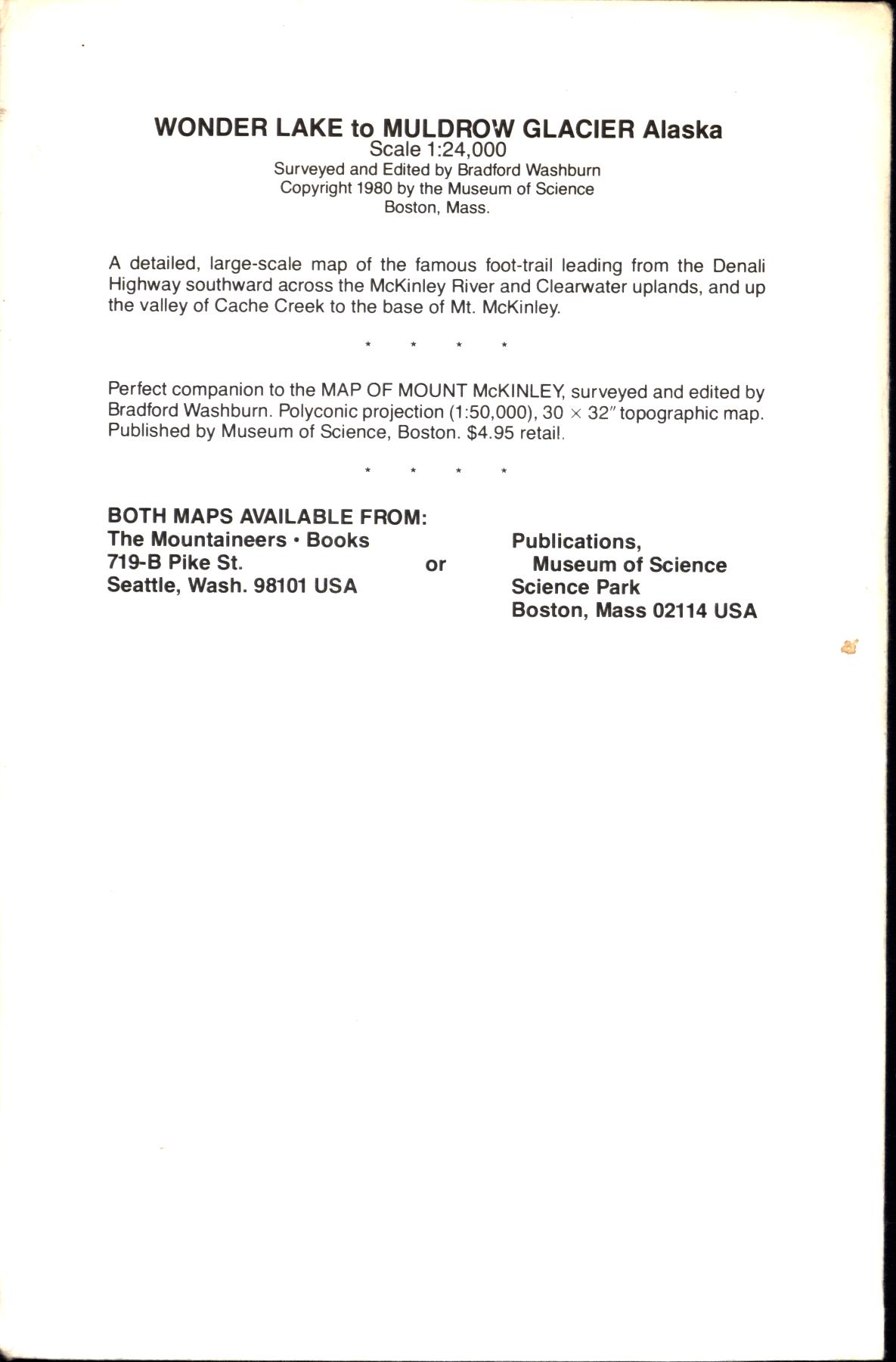 WONDER LAKE
TO MULDROW GLACIER (map). by Bradford Washburn.
Large-scale topographic map of trails, historic climbing
route for Mt. McKinley approach. Details the famous foot-trail leading from the Denali Highway southward across the McKinley River and Clearwater uplands, and up the valley of Cache Creek to the base of Mt. McKinley. Scale 1:24,000 (2,000 feet to 1 inch); contour interval 20 feet. 12"x24" shipped folded 6" x 9".
Inventory = 1. ISBN: None. 1980. Order #: MOUN2674 map$10.95.
END OF "Denali National Park" PAGE--click for TOP
click for other National Park System titles in Alaska
click for other titles in region
click ![]() for VistaBooks Outlet Home/Contents or use links in sidebars for other pages
for VistaBooks Outlet Home/Contents or use links in sidebars for other pages
click![]() for National Park System areas books Indexes A-Z
for National Park System areas books Indexes A-Z
This VISTABOOKS OUTLET "Denali National Park System areas books" page last modified July 14, 2023. Did you come here from a link on another website? For latest version of this page, click or copy to your browser: https://www.vistabooksoutlet.com/pages/vbo0napaparkdena.html. Copyright © 2025 VistaBooks LLC.
Need help? email. We want you to find what you want to find.
Thanks for looking!